Distance: 44 mi. out and back
Elevation gain: 4545 ft
Ponderosa Way is, by some reckonings, 800 miles long. We’re aren’t doing all of it.
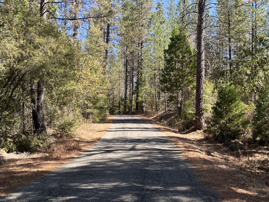
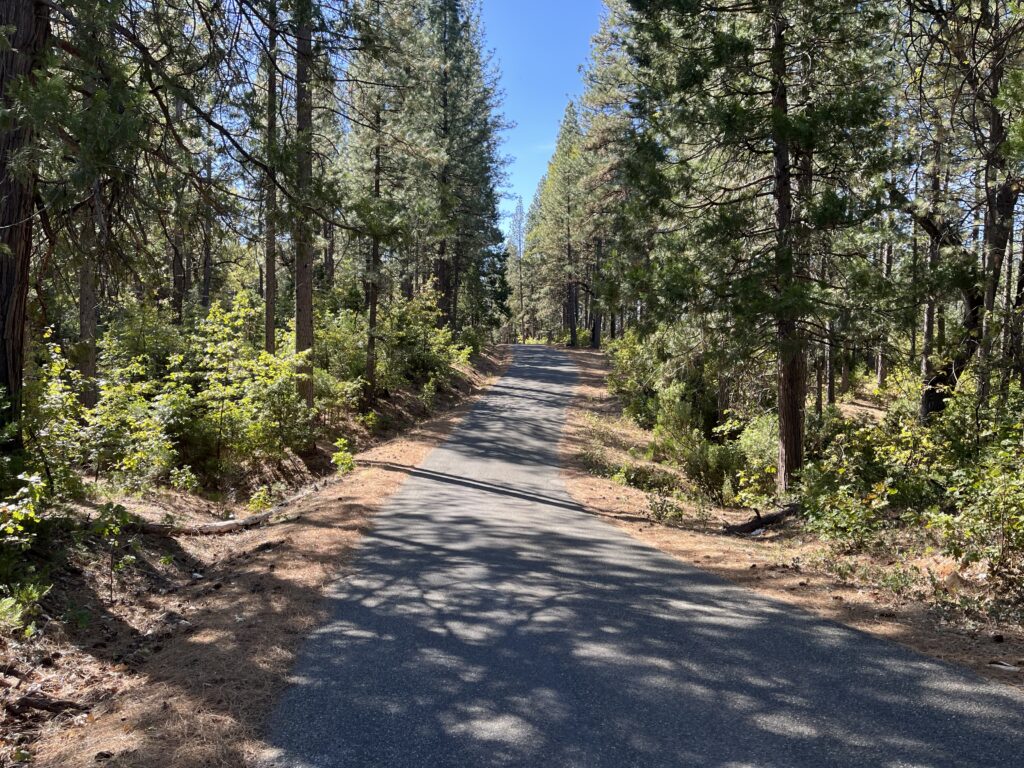
This leg runs north from Shingletown and goes through some seriously isolated country. It runs through the forests and meadows in the Sierra foothills east of Redding, and there isn’t much up there beyond the occasional ranch or four-corners country store. Traffic is next to nothing (I saw 4 vehicles in 14 miles, and two of them were postal delivery trucks), and the road surfaces are surprisingly good for little-used back roads. The scenery is standard foothill woods—dry, occasionally scrubby conifer forest broken by little valleys and meadows. One of the roads on our route is called Fern Rd., but that must be irony or someone’s name—the landscape is way too dry for ferns. The Sierra slopes down to the west, so the roads in the area running east/west are all uphill heading east, and the roads running north/south are all constantly up and down with no climb or descent lasting very long. You’ll never have to grind out a climb, but the elevation gain adds up. There are some really nice descents and some nice roller-coasters. There is no flat.
The road system around Ponderosa Way gives you all kinds of route options. Think of it as a continuous road running north, changing its name repeatedly (in order: Ponderosa Way, Fern Rd. East, Oak Run to Fern Rd., Phillips Rd., Buzzard Roost Rd.) and dead-ending at Hwy 299, the highway to Burney. From this north/south spine, roads periodically peel off to the west and run back down to the Valley (in order: Hwy 44, Whitmore Rd., Oak Run Rd., Hwy 299). This means you can make loops of various sizes, but they all have the same downsides: the terrain in the Valley is to my mind bleak—flat, featureless grassland, very hot and scorched in the summer—and the leg from the Valley returning to Ponderosa Way is a long, unvaried, mind-numbing climb. So I just ride the Ponderosa Way spine as an out and back. There are also smaller loop options: Fern Rd./Fern Rd. East/Whitmore, Phillips Rd./Bull Skin Ridge Rd./Ok Run Rd./Oak Run to Fern Rd., Phillips Rd./Buzzard Roost Rd./Oak Run Rd./Bull Skin Ridge Rd. The ride quality is about the same on all these roads, they’re all worth riding, and there’s almost certainly more mileage than you’ll want to do. I’ve chosen Ponderosa Way because it’s nearest Shingletown, it’s a bit more isolated, and it’s a piece of California history—an 800-mile New Deal construction project that’s even name-checked in Wikipedia.
Start at the intersection of Hwy 44 and Ponderosa Way. There is minimal dirt shoulder parking. If you feel more comfortable parking in town, you can start in Shingletown, a small, pleasant mountain community, but it’s 3.5 miles to the intersection, all down, and you’ll be looking at a 3.5-mile climb of noticeable pitch at the end of your ride.
The map’s profile looks like you plummet for the first 4.5 miles, but it’s a casual stair-step that begins in forest and takes you down to an open valley cattle ranch (you’ll notice the cow poop on the road before you see the cows). Two miles into the ride you hit an intersection, with Inwood Rd. going straight and appearing to be the main road and Ponderosa surprisingly going 90 degrees to the R. It’s clearly signed—otherwise you’d swear it’s wrong. After the turn, it’s impossible to get lost.
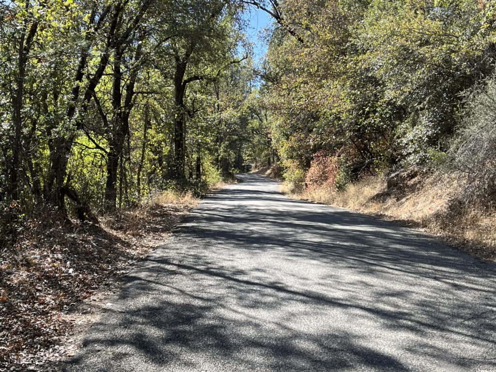
After the valley you do mostly climbing for about 4 miles, the nearest to a prolonged workout on the ride, but again it’s not as extreme as the profile suggests. The rest is up and down. You’ll cross two pretty creeks where you’ll get a taste of wetter, lusher landscape.
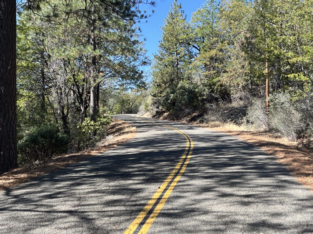
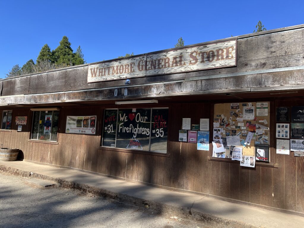
At 14 miles you dead-end at Whitmore Rd. Consider going L and riding the mile to the community of Whitmore, which consists of two large churches, a community center, a classic mountain general store for your ice cream break, and about 10 other simple buildings. Returning to our route, go east from Ponderosa on Whitmore about 1/2 mi. to Fern Rd. East and take it. It’s slightly more built-up and slightly larger than Ponderosa, but otherwise not significantly different. I rode it to Oak Run to Fern Rd. (that’s one confusingly-named road) and some of ORTF. There’s some swell descending on the return ride on ORTF and Fern East, which is the only reward for continuing beyond Ponderosa except additional miles.
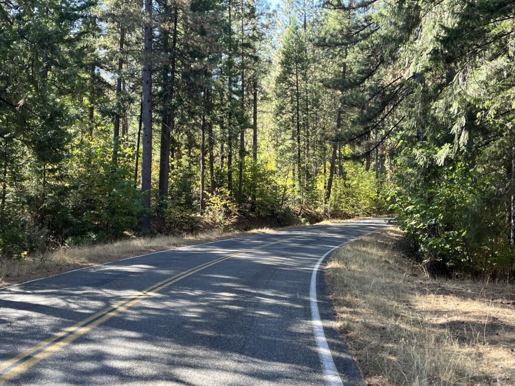
Shortening the route: Turn around at Whitmore.
Adding Miles: As I’ve said, you can ride forever on the surrounding roads and it’s all worth doing, assuming you stay off Hwys 44 and 299. In addition, running south out of Shingletown is one of my favorite back roads, Wilson Hill Rd., a marvel of climbs, drops, and turns. It ends in Manton, a community that consists of one building. Feel free to skip the flats at the south end.