Distance: 64 mi. out and back
Elevation gain: 1790 ft.
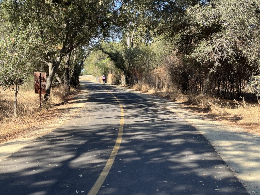
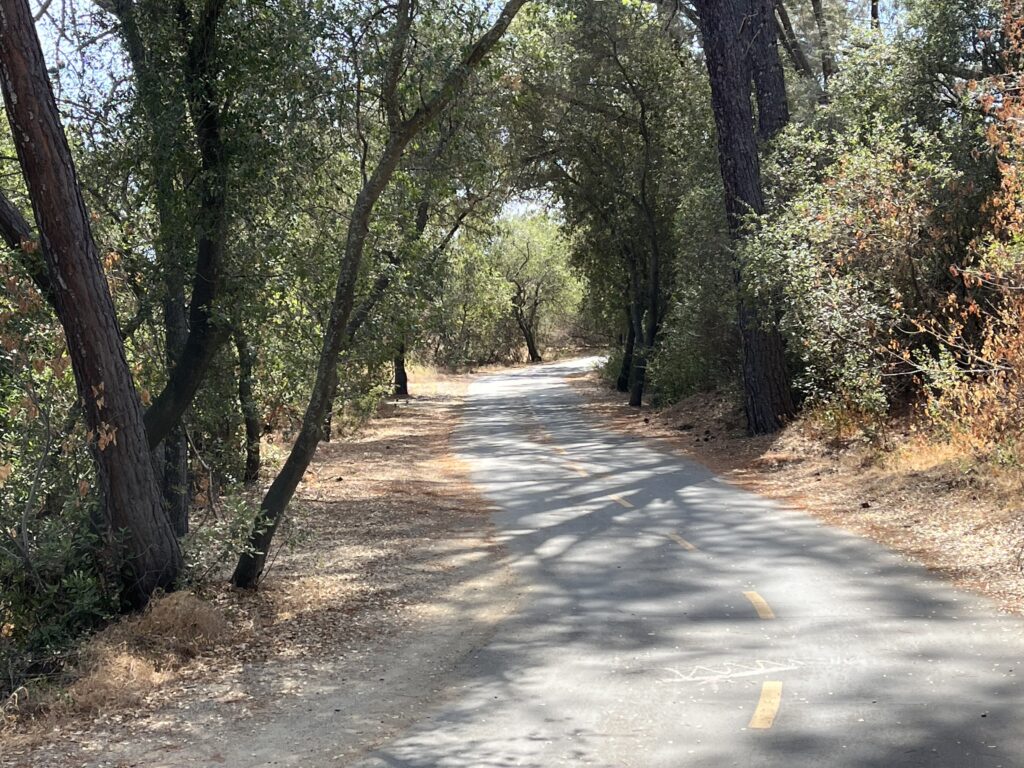
This ride (less commonly called the Jedediah Smith Memorial Trail) is probably the most popular rec trail in California, and nearly the best (I’m sticking with the Sacramento River Trail). On weekends and midsummer it’s slammed with walkers, dogs, joggers, skate-boarders, roller-bladers, and guys in baggy pants riding electric bike/motorcycles with 4-inch tires at 6 mph. So I wouldn’t go near it then. But weekdays in winter, fall, or early spring it belongs to us cyclists. My last ride was a Thursday in late September, and I saw about 200 cyclists and almost no one else. In those conditions, it’s a dreamy ride—about 1/3 in lush riparian woods and 2/3 in adjacent meadows, all of it pretty and sometimes gorgeous, with abundant views of the American River and several bridge crossings..
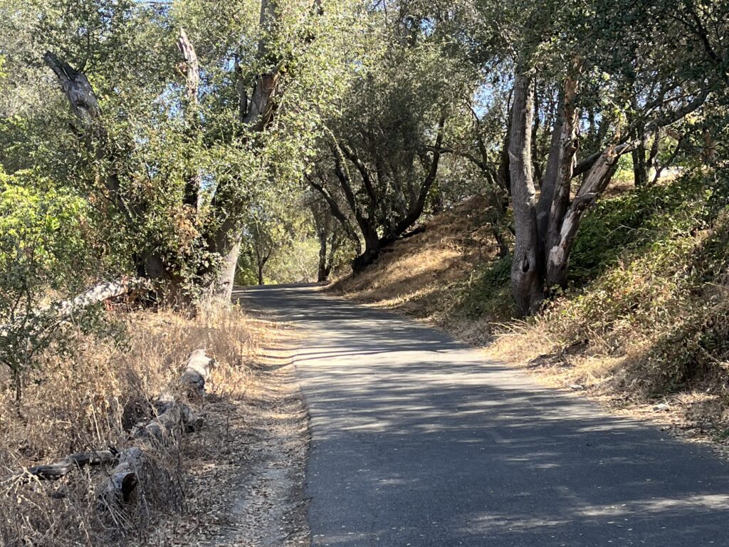
The path is mostly very small two-lane with a centerline and a dirt shoulder on both sides for the runners. The profile was obviously laid out by the planners to maximize your pleasure, constantly serpentining through little rises and dips. The curse of many bike paths that wind through woods is a bumpy road surface from expansion cracks and root damage, but the ARP is blissfully, spectacularly free of such nuisances—the road surface is amazingly good throughout. There are bathrooms and drinking fountains along the route (see the map below).
A guideline common to all multi-use trails: Even if you catch the Parkway on an uncrowded day, you will meet a lot of people, there are a million blind corners, and the road contour is small-scale, so don’t try to time-trial the route—relax, get your nose out of your computer, take in the scenery, and obey the 15mph speed limit.
RidewithGPS covers the AMP, but there are more informative maps on other websites. Here’s my favorite (I particularly like the mileage markers):
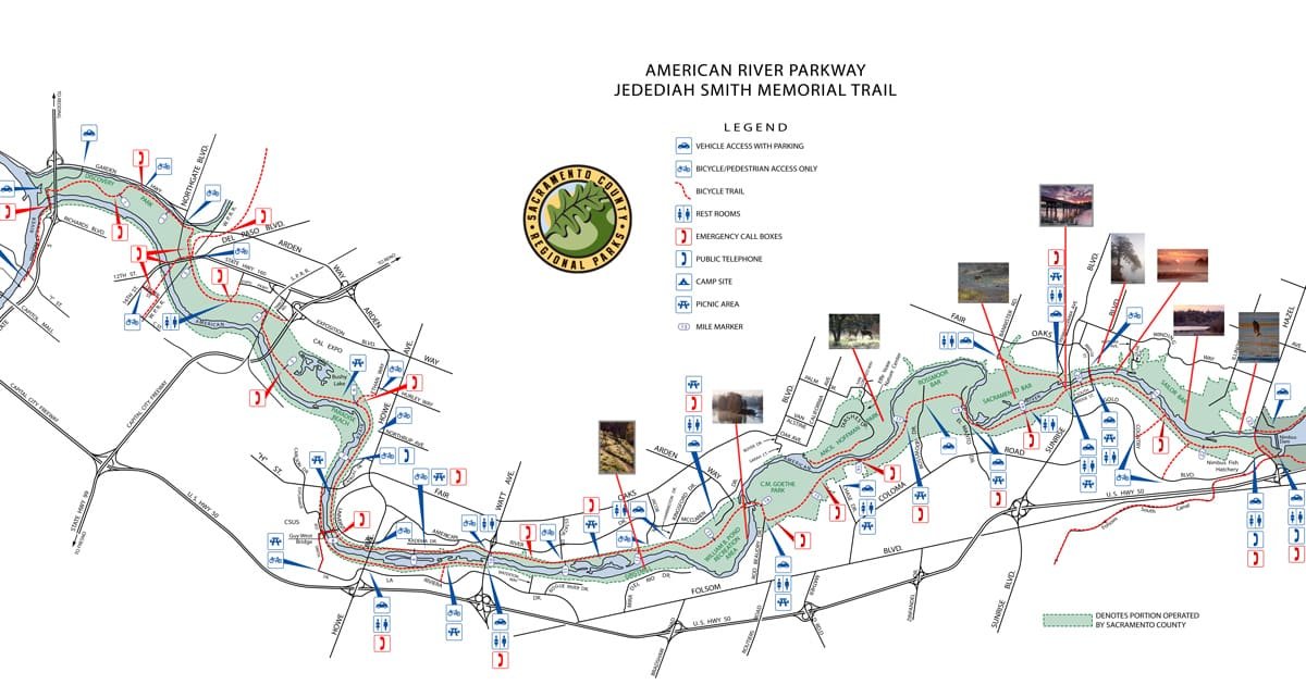
You can find the electronic version of this map at:
runsra.org/community/sacramento-running-routes/
and you can get it in paper format.
Navigating the Parkway is in one sense easy: just stay as close to the river as possible. On the other hand, there are many alternate routes and unmarked forks, and you’ll almost certainly get lost as least once or twice, but it’s all harmless since the river is always unmistakably nearby. If you go wrong, you soon debouch onto some urban street and you just turn around.
Four words of warning:
- Sacramento has had trouble with homeless encampments along the Parkway, especially near the west (downtown) end.
- Like the rest of the Northern California Valley, the Parkway is fried to a crisp by the end of summer. and in midsummer it’s usually 100°+. if you like cool and green, ride in the winter or spring.
- Sections of the trail, mostly at the west end, are under water during periods of heavy rain.
- The Parkway is officially off limits to Class 3 ebikes—that is, exactly the kind of ebike I have and you probably have. The website threatens police surveillance and possible confiscation. I saw no police and my bike wasn’t confiscated. At least 75% of the bikes I saw on the AMR were “illegal” and no one seemed concerned. This seems to be the status quo on bike trails these days.
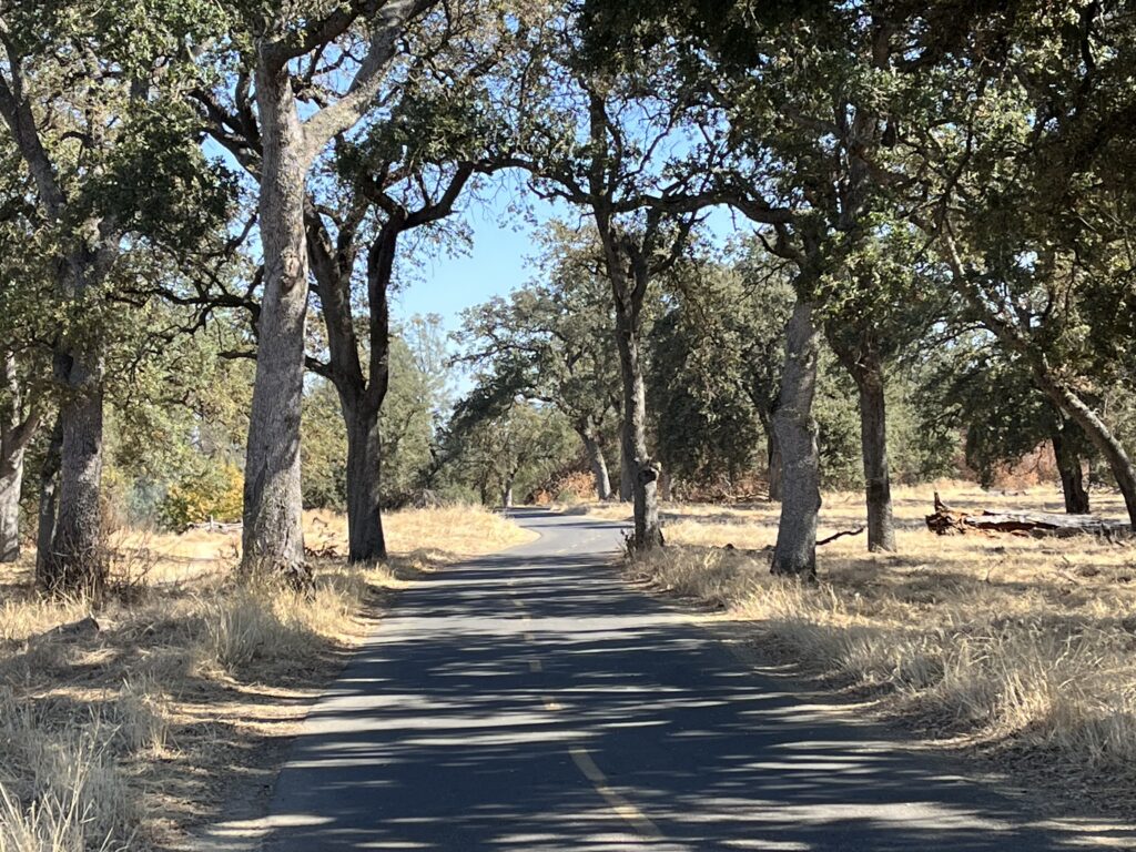
Sixty-four miles is a lot of bike path, but it’s all essentially flat (check out that elevation gain), with all the work in a 3-mile 3-5% climb at the eastern end that gets you from the bottom to the top of the Folsom Lake dam. The Parkway becomes a bit more wooly and twisty the further east you go, but beyond that there is no particular incentive to go all the way to the eastern terminus: Your “vistas” of Folsom Dam are just a rocky hillside, you can’t ride on the top of the dam itself, and the end-point, Beals Point Campground, isn’t especially charming unless you need a bathroom.
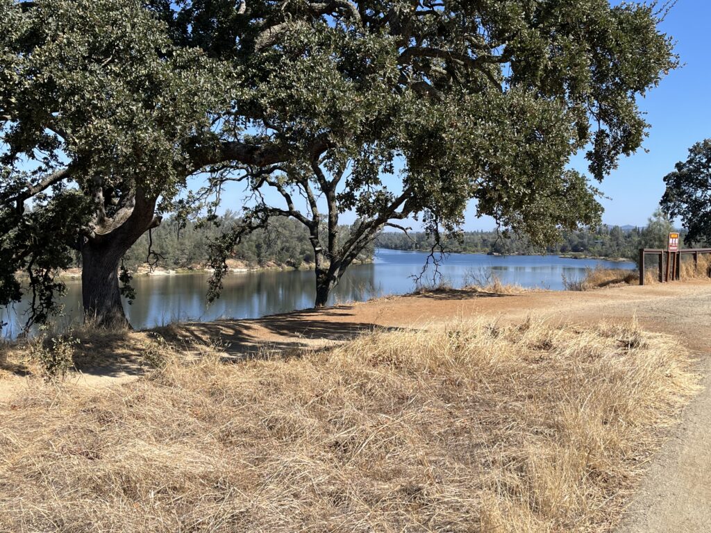
The scenery is delightfully sylvan for a trail that is entirely surrounded by full-on urbanity and that closely parallels Hwy 50 for much of its length. The advantages to this are you can park in nearby neighborhoods or parking lots and access the Parkway just about anywhere, and you’re never far from food. The best stopover along the route is Karen’s Bakery in Folsom, for me a must-do on any Parkway ride. They’re closed Mondays, which can be a heart-breaker if you don’t see it coming.
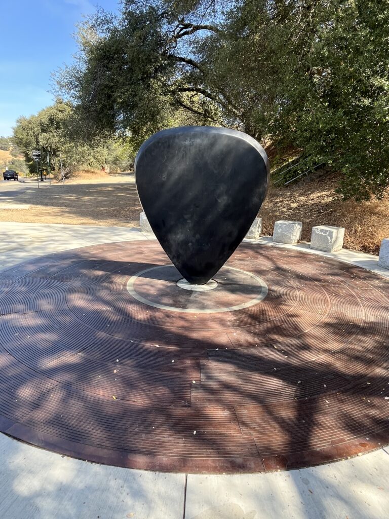
One novelty along the Parkway is the Johnny Cash Trail offshoot (in Folsom—get it?), whose trailhead is marked by a gigantic guitar pick.
Shortening the ride: My favorite miles of the ARP are in the middle—roughly from William B. Pond Recreation Area (there is no pond—Pond is the guy’s name) to the Folsom Historic Truss Bridge, which is adjacent to the Rainbow Bridge on Greenback Lane and which has a fascinating history (Miles 13-28).
Adding Miles: There’s not much. You can ride south from the western end of the Parkway along the Sacramento River into Old Sacramento, a touristy kind of faux Gold Rush town. There are several paved trails forking off the ARP and leading you back to the urban surroundings, if you want more than 64 miles of bike path. The Parkway area also has some paved or dirt singletrack that’s off-limits to bikes and can be great fun if you don’t get caught.