
Distance: 26 mi. out and back twice
Elevation gain: 1740 ft.
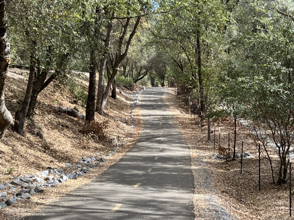
I used to turn my nose up at bike trails, but I’ve either mellowed or they’ve gotten better. For whatever reason, there are now four bike trails in the Bestrides ride list, in Sacramento, Redding, Monterey, and this one in Placerville, and some other honorable mentions in the Adding Miles sections. This one is a little jewel—fairly short, pretty, and beautifully designed and maintained. It’s a perfect 12-mph recovery day ride.
The trail goes west and east from Placerville, and Placerville is a charming place to begin and end a ride, so I’ve mapped it under the assumption that you’ll begin in town, ride to the western terminus, turn around and ride back through town to the eastern terminus and back to town.
This is a rail-to-trail conversion, and I’m usually not fond of such things, because they tend to be flat, straight, and monotonous, and go through industrial backyards when they’re in urban areas like this one is. They also tend to have stops at cross streets every 100 ft. The EDT has none of these problems. For much of its length, instead of setting the trail directly on the railbed, some genius left the tracks intact and put the bike path on the RR berm, thus providing a gently meandering, rising, dipping profile. The ride is almost entirely uninterrupted, assuming you’re willing to do a little risk-free stop-sign running. The scenery is mostly wooded and varies from good to lovely.
The trail has a very different character west and east of town. The west side is a 1-2% descent heading W. Immediately E of town the terrain pitches up, and so does the trail, climbing steadily at 3-6% for almost 9 miles (not sure how the railroad managed that). The west side passes by the Old Depot Bike Park, where you can watch BMX bikers do tricks, and ends at El Dorado Station, where there are remnants of old railroad cars and a facsimile of the original Station building, built in 1888.
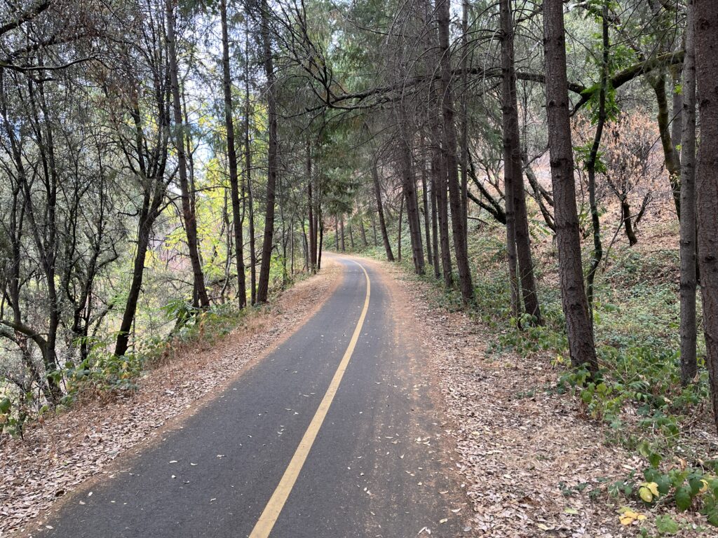
The selling point for the trail is the Weber Creek Trestle, which the trail crosses a couple of miles W of town. Built in 1888, it’s 120 ft above the creek. It’s there, it’s real, but it’s actually just a wide boardwalk with wire fence rails on both sides. There is no moment when you can see the trestle beneath you, so if you didn’t stop and read the historical placard nearby you’d almost miss it. The placard shows you a photo of what you’re riding over.
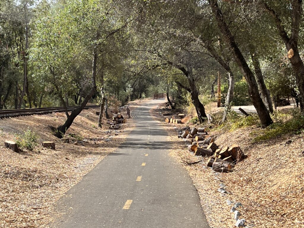
The trail runs straight through town on Main St. for 1 mile. This is both delightful and harrowing, since Placerville is usually jammed on a summer weekend. Finding the trail leaving town headed W is easy—just pick it up at the unmissable Forni Rd. Finding the trail leaving town headed E is trickier. Turn L off Main onto Mosquito Rd. at a large and hectic intersection and keep your eyes peeled for the trail going off to your R.
Save some time for exploring Placerville after the ride. It’s a nice mix of Gold Rush California and modern trendy. There are lots of good places to eat, but I recommend The Original Mel’s at the west end of Main. It’s thick with kitschy “American Graffiti” culture, although it (of course) is not the Mel’s used in the movie, which was in downtown San Francisco and has been demolished. (I know, the movie is set in Modesto, which has no Mel’s but has a terrific original A and W drive-in).
Shortening the ride: Ride from Placerville to either trail end and return. The west side is easier than the east side.
Adding miles: When our route touches Mosquito Rd. in downtown Placerville you’re at the beginning of our Mosquito Rd. ride.