
Distance: 21.3- mi. loop
Elevation gain: 2277 ft
This is the best ride that I know in the Garberville area. It’s a dreamy romp through beautiful woods on narrow (often one-lane), meandering roads with next-to-no traffic and fair to excellent pavement (a rarity in Humboldt County). I love it, with one huge BUT in the middle of my joy—a 1.4-mile stretch of very steep (10-13%) rocky gravel that is, in a word, nasty.
The route includes 5 miles on Shelter Cove Rd., and I’ve declared my dislike of that road in the Briceland Loop write-up, but this stretch is as pretty as the road gets, and if we don’t ride it we have to do the route as a 32-mile out and back, which necessitates riding the Gravel from Hell stretch twice, and that’s asking a lot.
You can start the loop anywhere (there is easy parking at Thorne Junction and the Chemise Mountain Rd. turn-off) and ride in either direction. I’ve mapped it the way I have because the Chemise Mt. Rd. section is better than the Briceland Thorne section, so I’ve saved the best for later, and this way the Gravel from Hell is uphill, which is merely tedious and unpleasant, whereas doing it as a descent is wretched.
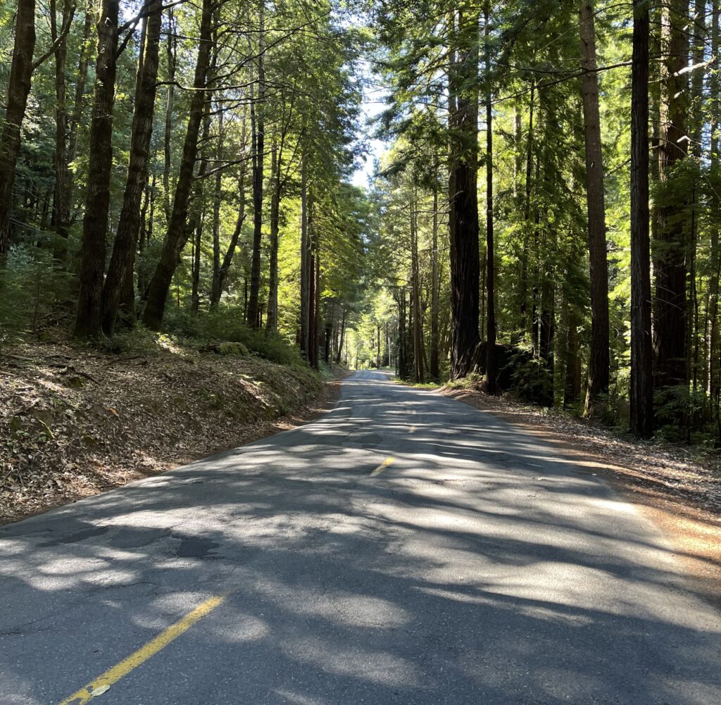
Road naming in this region always seems problematic, and our route actually goes by three names. When you turn off Briceland Thorne at Thorne Junction, you are in fact continuing on Briceland Thorne (the main road continuing west is now Shelter Cove Rd.). At an obvious intersection at the southernmost point of the loop, Briceland Thorne crosses Usal Rd. (there is actually a road sign at the intersection), turns to dirt, and drops down to the ocean—ride it if you want a challenge. Usal is dirt to your L and pavement to your R, and it’s Usal to the right that is our route. Somewhere between there and Shelter Cove Rd., it becomes Chemise Mountain Rd. I’ve decided to call the ride after this last incarnation, because it’s the most distinctive name of the three.
Park at Thorne Junction, where Briceland Thorne Rd. and Shelter Cove Rd. diverge. There is ample dirt parking at the intersection or on the shoulder of either road.
Humboldt County has a reputation for being hard on cars parked in the outback—something to do with an economy based on pot growing and a consequent dislike of strangers nosing around. If you google the issue, people will tell you that parked cars may be torched. How much you want to buy into this is up to you. I did take valuables and important documents out of my car before parking, and I was parking in a moderately “touristy” area. I had no problems. But there is lots of evidence along back roads like Chemise Mt. Rd. that weird things are going on back in there, and I would be reluctant to leave my car very far from a well-trafficked road like Shelter Cove Rd.
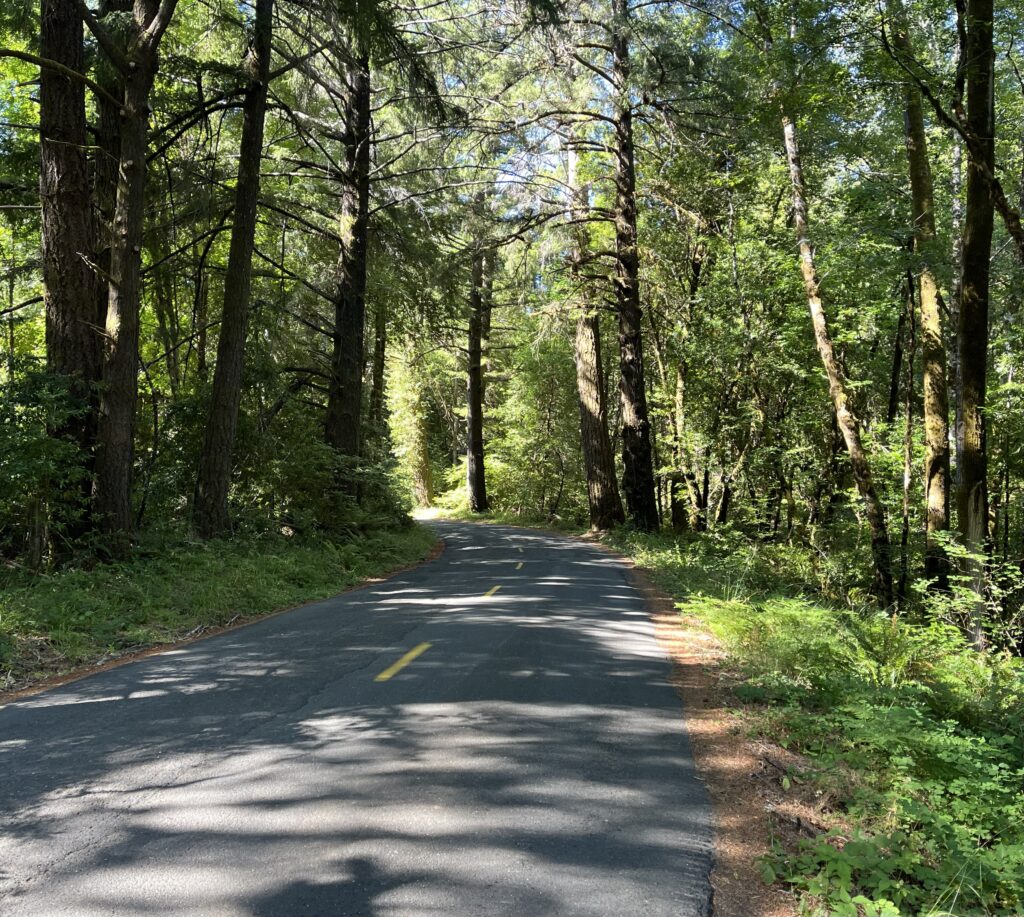
Head down Briceland Thorne. At first it’s a wide two-lane with center line and fairly developed, but it gets wilder, narrower, scenically grander, and rougher of road surface as you proceed. When you surprisingly encounter the public school, Whitethorn Elementary, you know the signs of civilization are coming to an end. Soon the road is a wide one-lane, and the road surface is poor, though never bad enough to make you sorry you came. The woods are top-notch.
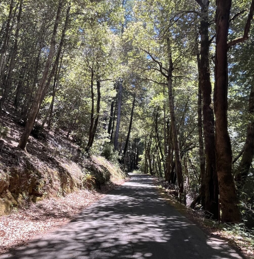
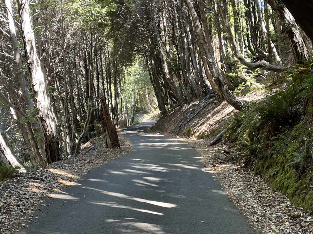
At the intersection with Usal Rd. you might reasonably decide that you don’t want to tackle the Gravel from Hell and turn around for a tidy 20-mile out-and-back. But I hope you don’t, because the 7 miles that remain are much better than what you’ve already done—prettier woods, better pavement, narrower roadway, a distant view of the ocean, funner contour…just better in every way. One of my favorite stretches of road anywhere.
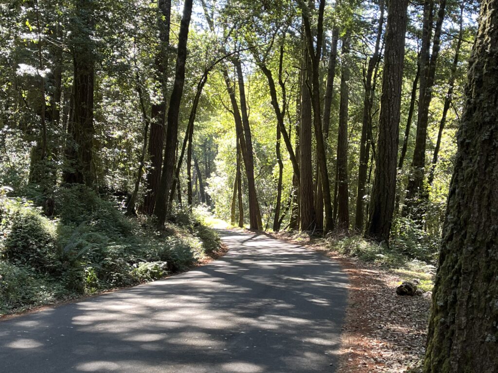
Except of course for the gravel. How bad is it? In dry conditions, it’s in good shape, so you don’t have to deal with ruts or potholes. It’s a fairly smooth surface, thin loose gravel over hard dirt and small jagged rock. If it were flat, it wouldn’t be worth a mention. But at 12%, if you have big soft tires it’s an unpleasant grind. On hard skinny tires, it may be impossible. I find it helpful to know exactly when it will be over, so before I begin I calculate the mileage at the end.
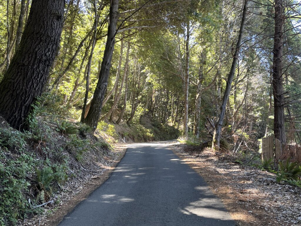
The gravel ends at a summit, and on the other side the pavement is glass, so you go from a jarring, sweating 4 mph to an effortless 25 mph serpentine. The surface, and the scenery, are marvelous all the way to Shelter Cove Rd. (2.7 mi.)
The 5 miles on Shelter Cove Rd. back to your car consist of 1 mile of hard (to 12%) climbing followed by an equally steep descent. As I said, it’s the best five miles between Shelter Cove and Garberville—very pretty, with a road contour that is first-rate serpentining. If you can catch the traffic on an off-day, it’s really very nice, though hard.
Shortening the ride: The best part of the ride is the 7 miles (14 miles RT) between the Shelter Cove Rd./Chemise Mountain Rd. intersection and the Usal Rd./Briceland Thorne Rd. intersection. But of course that includes the gravel. Twice.
Adding miles: At Thorne Junction you’re 7+ miles from the village of Briceland, which is on our Briceland Loop ride. Closer is the Ettersburg/Honeydew/Wilder Ridge Rd., which I haven’t done but which looks good, goes on seemingly forever, and is constantly climbing or descending vigorously.
I don’t recommend it, “because traffic” as they say, but you can ride to Shelter Cove. It’s a brute of a climb coming back out, and there isn’t any sort of “beach town” there—no surf shops, no taco stands, no T shirt emporia, no tourist presence of any kind. Just lots of large houses, a small marina, a funky little historical lighthouse, and a couple of places to eat. A couple of miles east of town you pass a general store.