Distance: 39.4 out and back
Elevation gain: 2064 ft
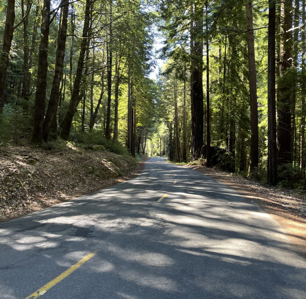
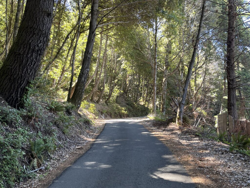
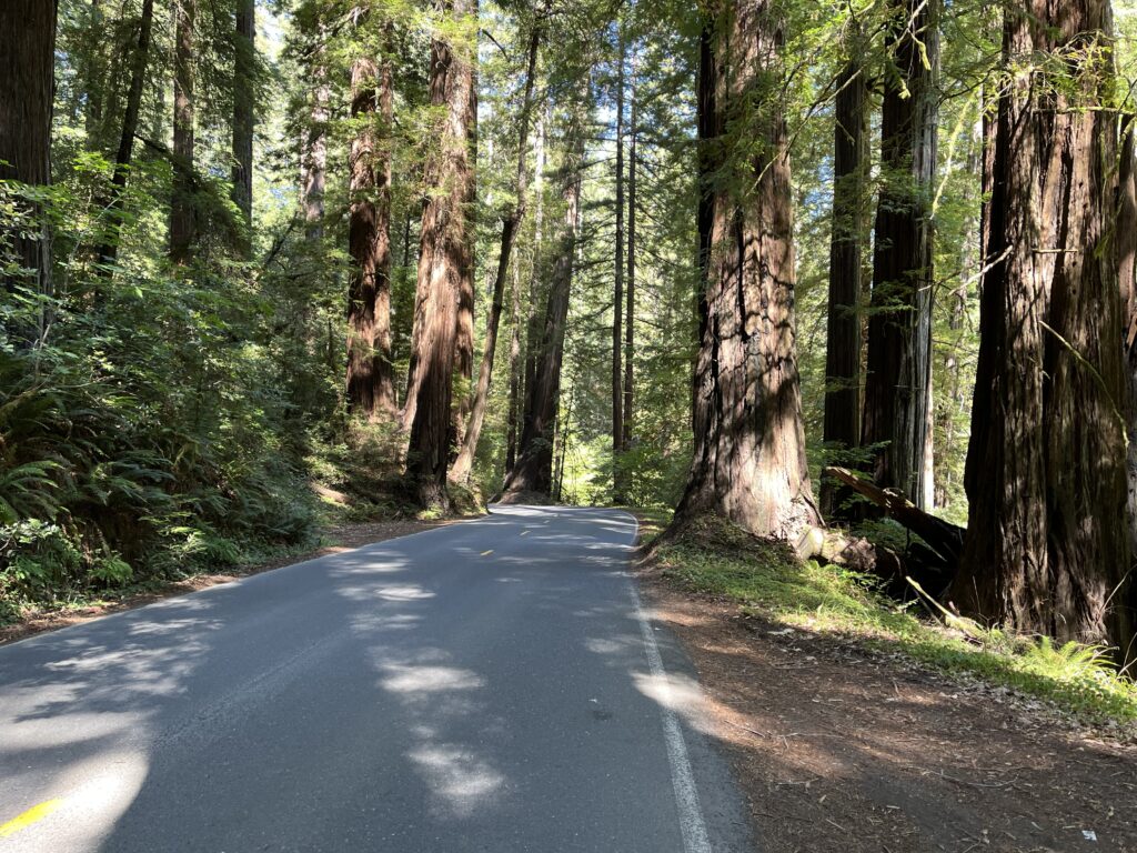
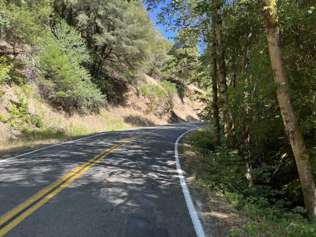
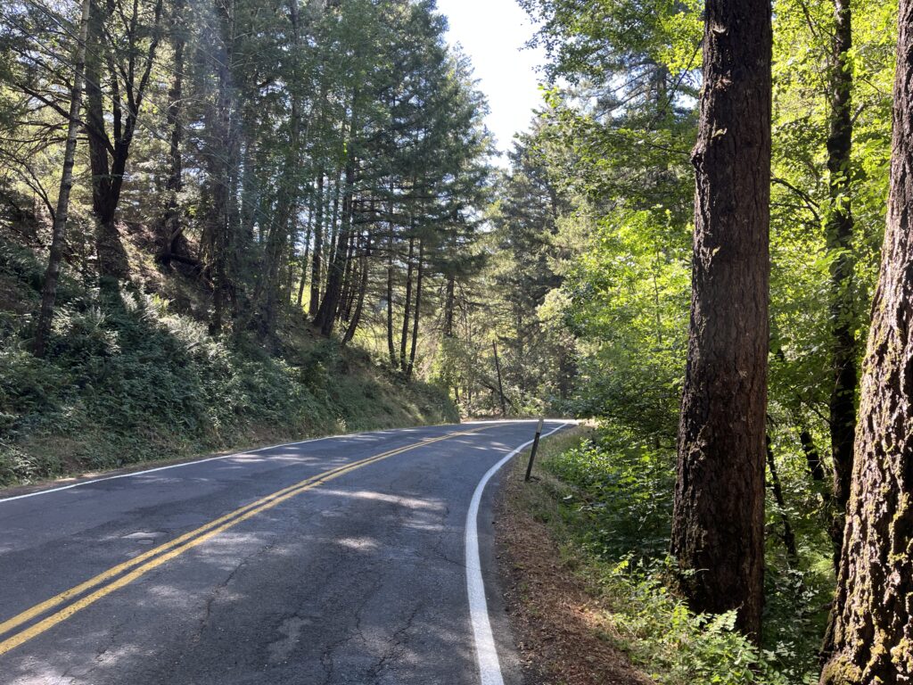
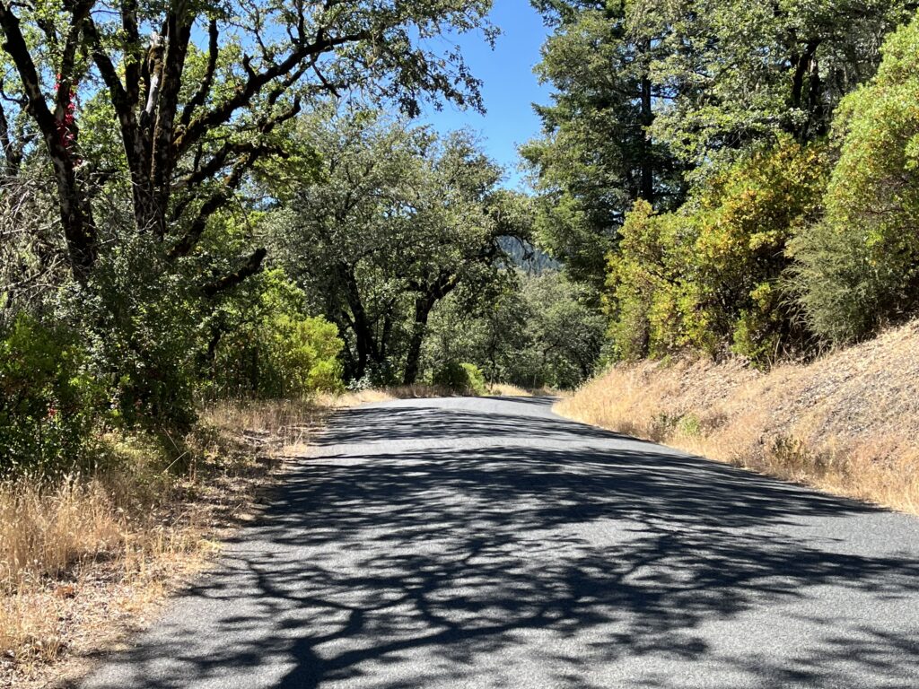
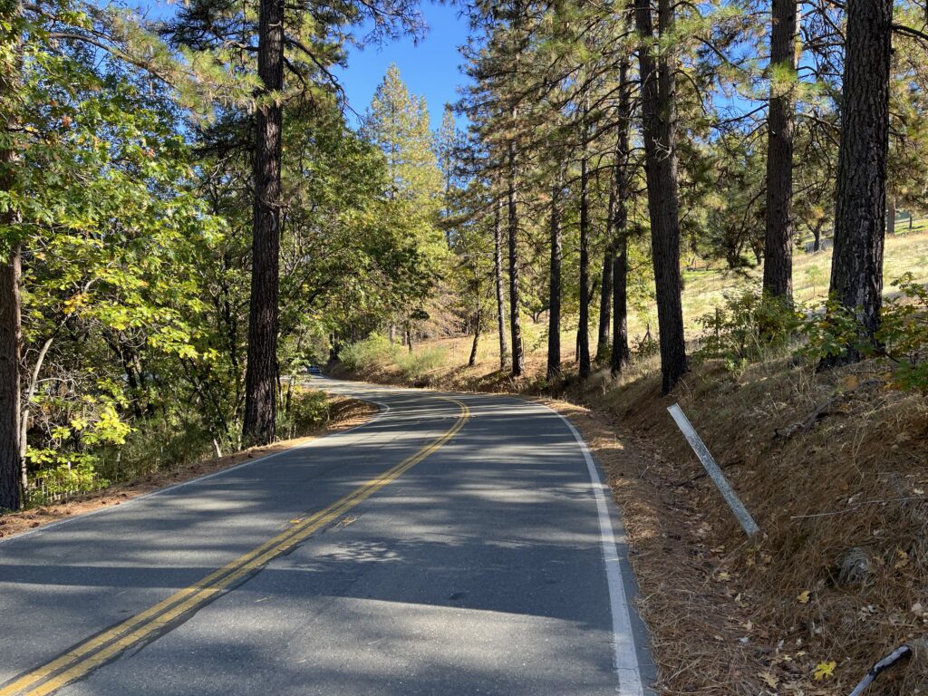
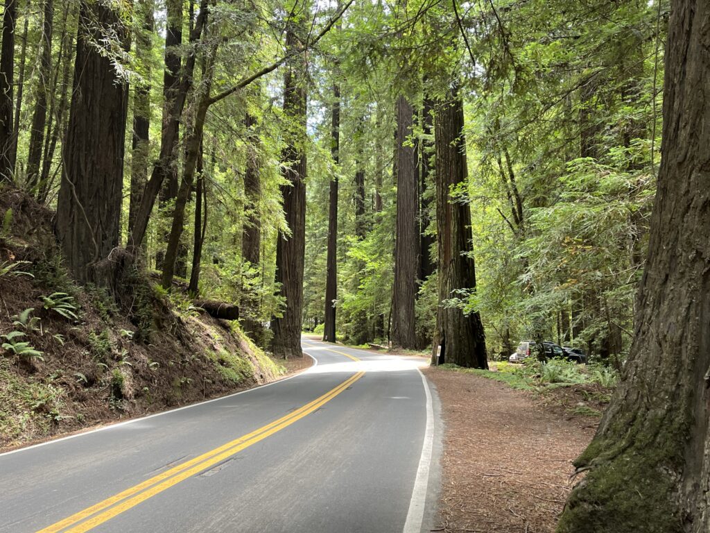
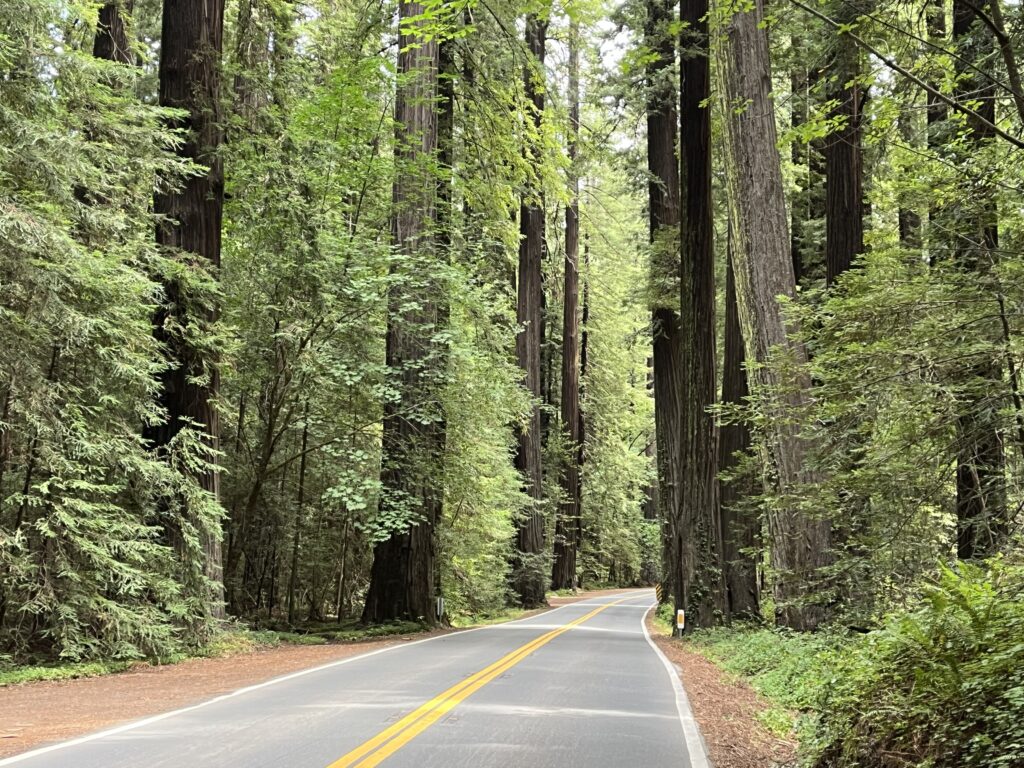
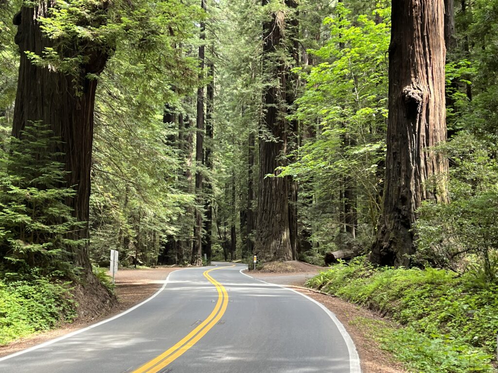
This ride continues the riding we did in the Avenue of the Giants North route. It’s more of the same—grand, world-famous redwood groves seen from a modest two-lane road with an excellent road surface and just enough variation in pitch and direction to give it a touch of character. With both rides, Hwy 101 parallels the route just out of sight the length of the route, so all the through traffic is on the highway and you only have to deal with people who have come for the trees.
Of course you could do the two rides as one, but that would give you 72 miles of redwood tunnel, which is probably more than a body needs, especially since this is riding and gawking, not time-trialing through, so you’ll want to keep a very moderate pace. I recommend doing the ride whose description best suits you. Though in fact there is little to distinguish one from the other. I think the trees on the northern ride are a bit bigger and the aura of Bigfoot kitsch a bit stronger.
I’ve included the 4-5 miles of Mattole Rd. on both routes, because they are the best miles in either route.
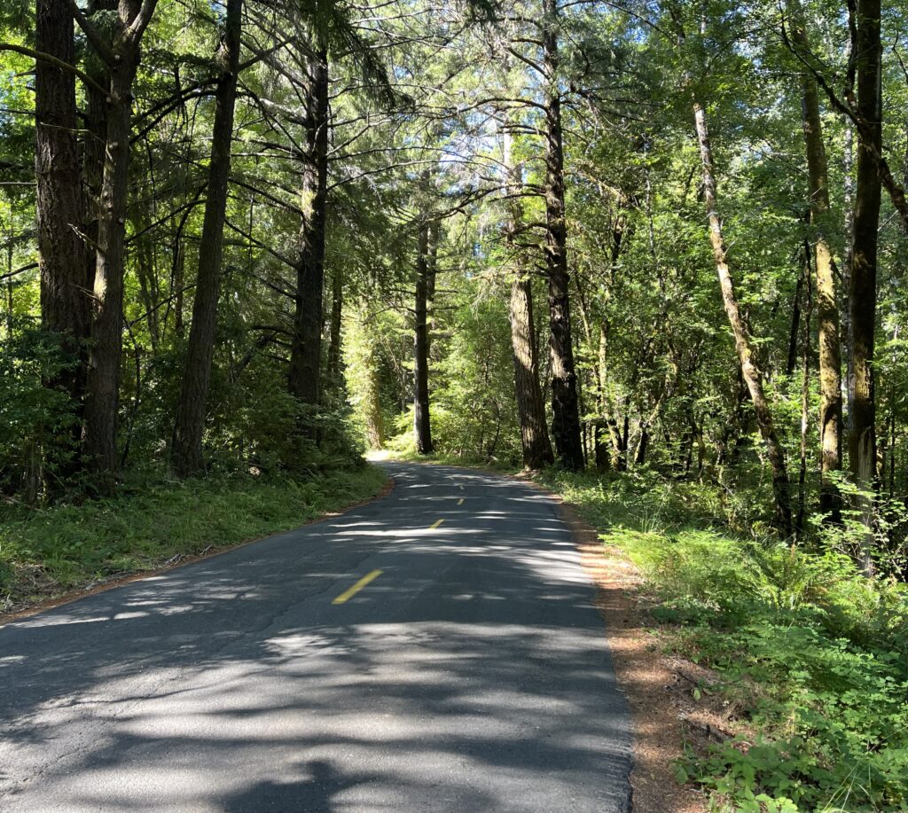
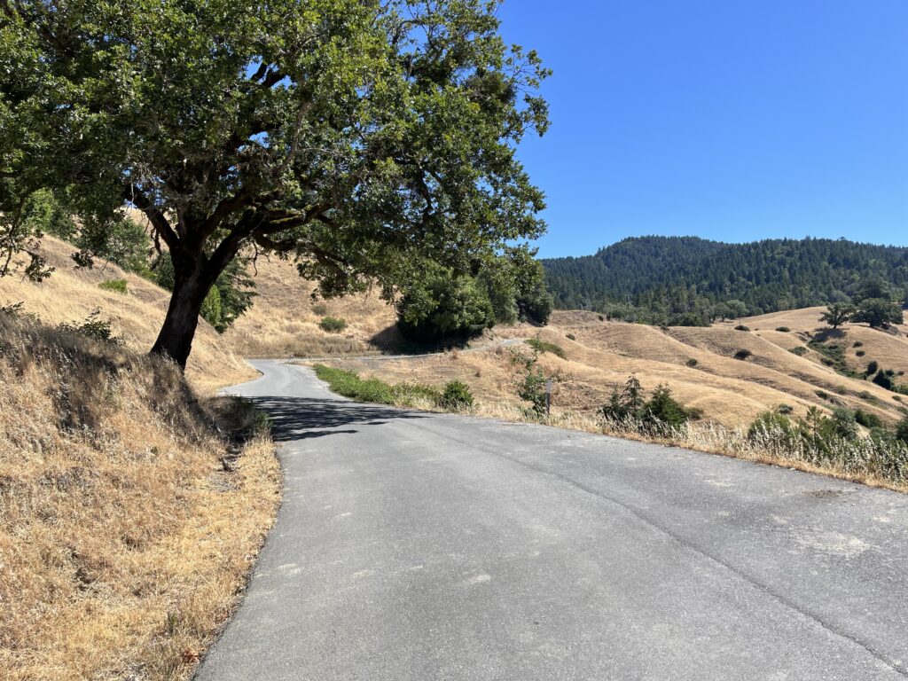
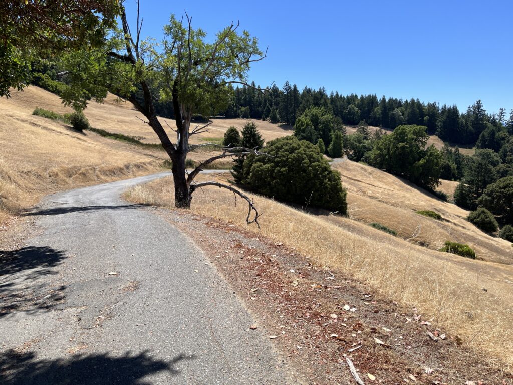
Both rides are essentially flat. The RWGPS elevation graphs make both look like the climbing ride from hell, but it’s a trick of the map’s scale. At least 95% of this route is 0-2% pitch. The worst “climb” is the overpass to get across Hwy 101. I really can’t imagine where that 2064 ft figure comes from. My Garmin recorded a bit over 1000 ft. gain.
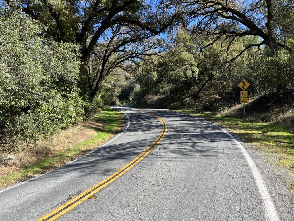
Of course since this is a world-famous State Park (Humboldt Redwoods SP), there is always the fear of mobs and traffic. Maybe I was lucky, but I did the ride midday on a lovely July Saturday—in other words, peak rush hour—and the traffic was light and considerate. Perhaps a car everyf minute. And passing is unthreatening, because the road is wide and the sight lines are excellent. Most of the groves were deserted or had one or two visitors. The only crush was at Founder’s Grove, the Park’s main draw, which I suggest you avoid.
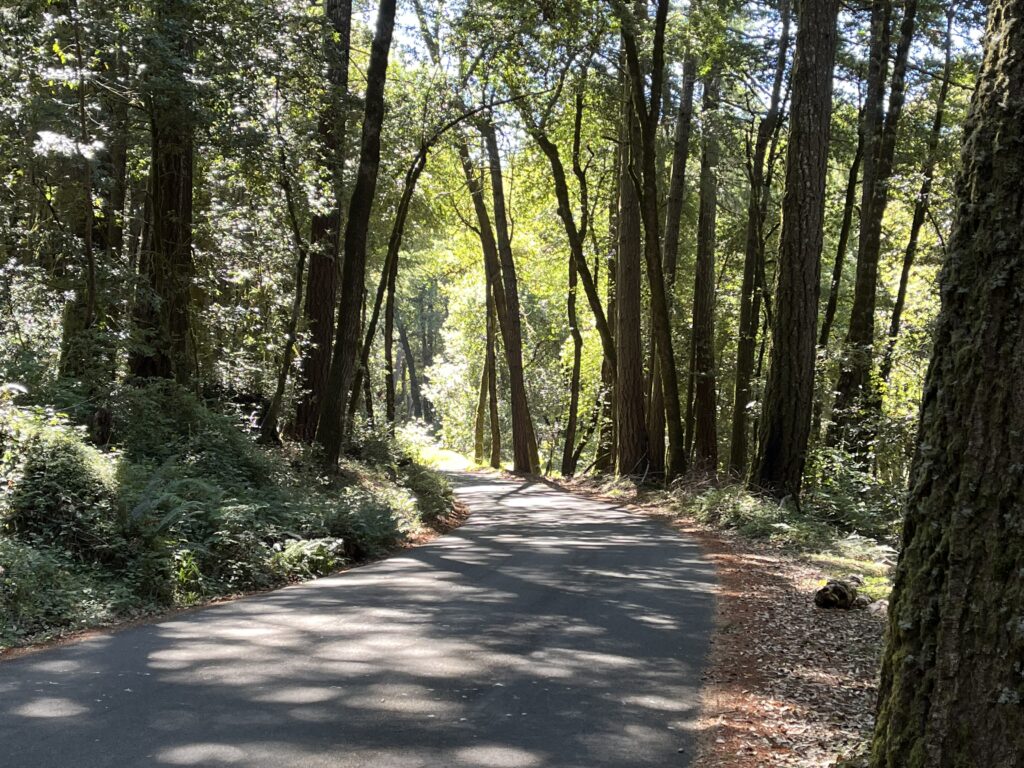
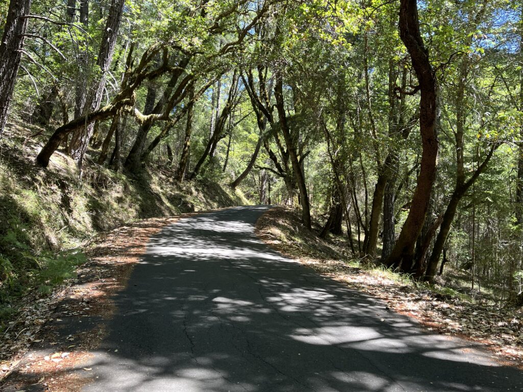
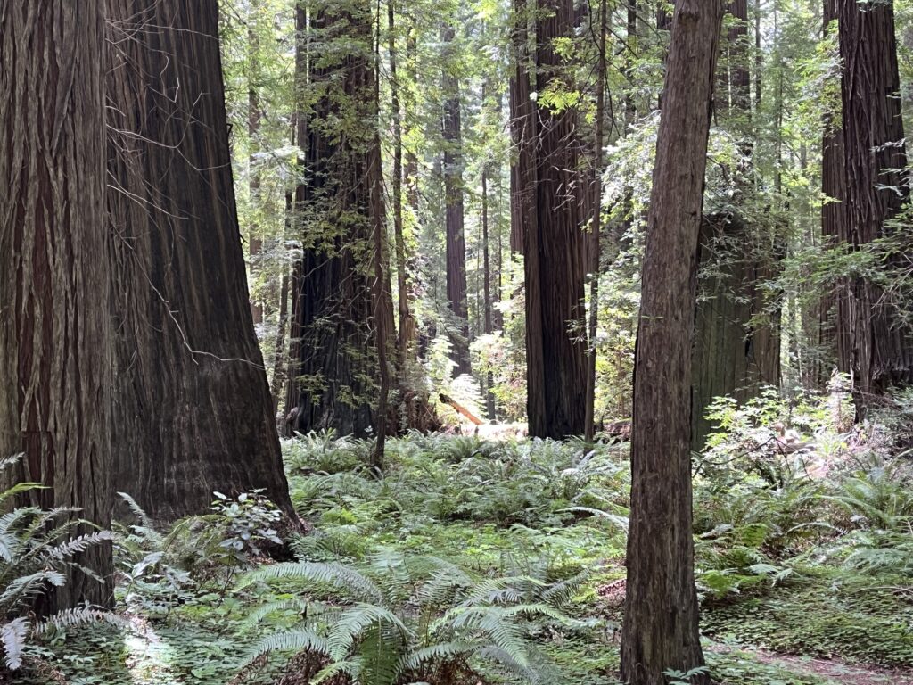
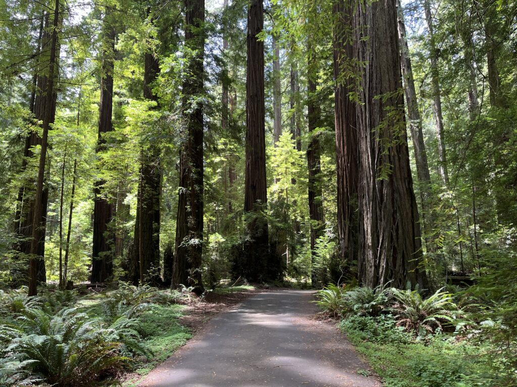
Awe-inspiring as cycling along the Avenue of the Giants is, the road still keeps the trees at an emotional distance. If you get off the main road, the dramatic intensity doubles. This only becomes apparent if and when you either ride a smaller side road or dismount and walk among the trees, and I strongly urge you to do both. The AOTG makes this easy by placing sponsored groves along the route. These groves typically have educational placards, the biggest trees, narrow roads going into campgrounds, and short hiking loops. I encourage you to stop at all of them, but to my knowledge getting up close and personal with the redwoods can be accomplished best in three places:
1. The Mahan Plaque Loop Trail: just south of Weott, this trail is especially magical. You don’t need to do it all (3/4 mi.)—walking 50 feet off the road is enough to awaken the spirits of Lothlórien.
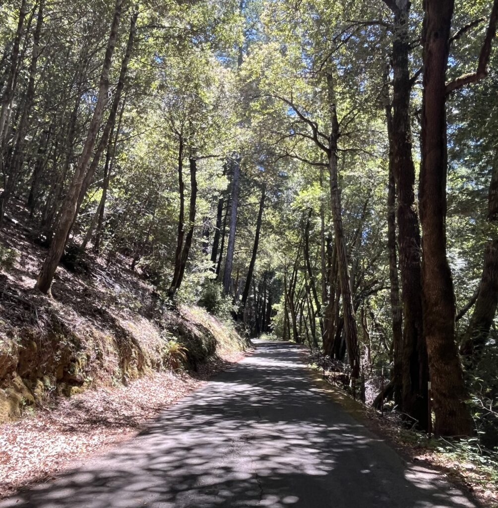
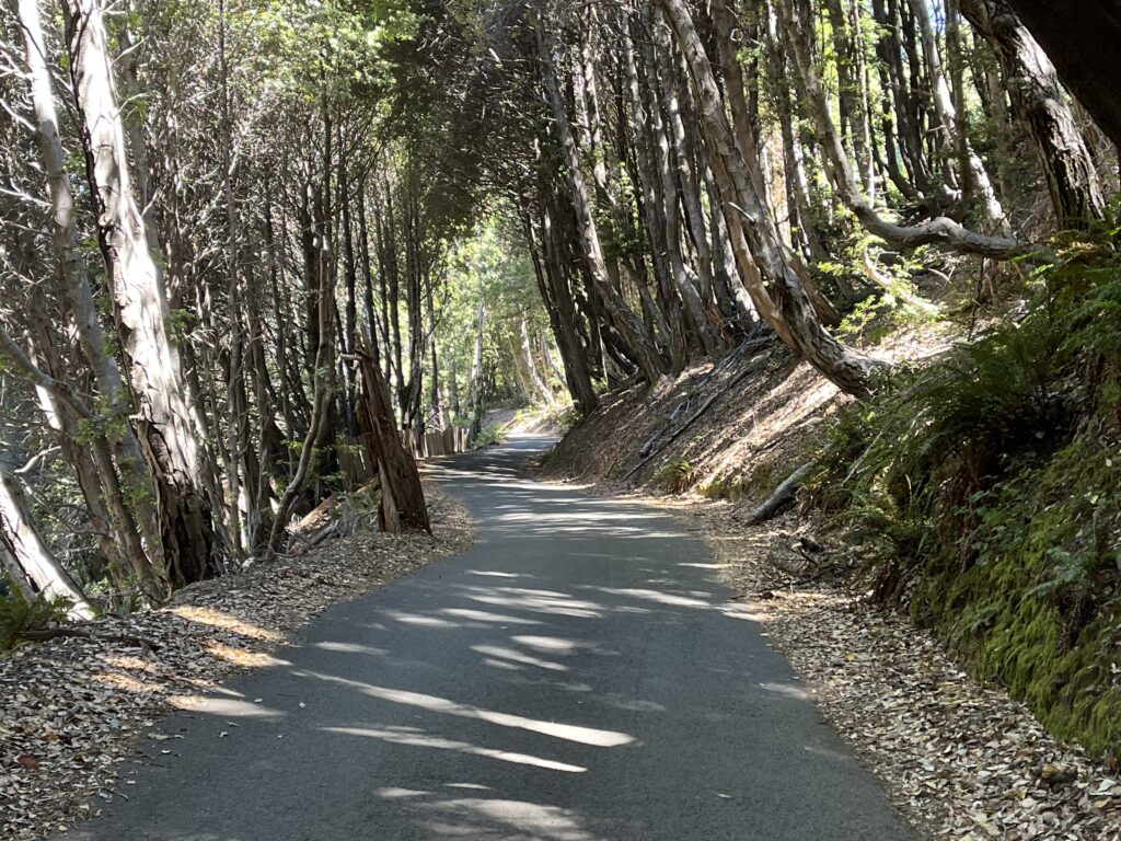
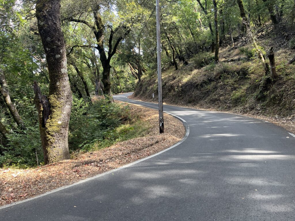
2. The California Federation of Women’s Clubs Grove: a stone’s throw from the Mahan Plaque Loop Trail, this grove has the longest, narrowest, and most beautiful road of all the groves on the route. Barely more than a path, it serpentines between the grandest of the trees for about 1/3 mi. The best part is, the grove is closed for what looks like a lengthy spell, so you ride around the gate and have the place to yourself. At the end of the path is an architectural wonder, a four-sided fireplace designed by the beloved Julia Morgan. This was my favorite 15 min. of the ride and not to be missed.
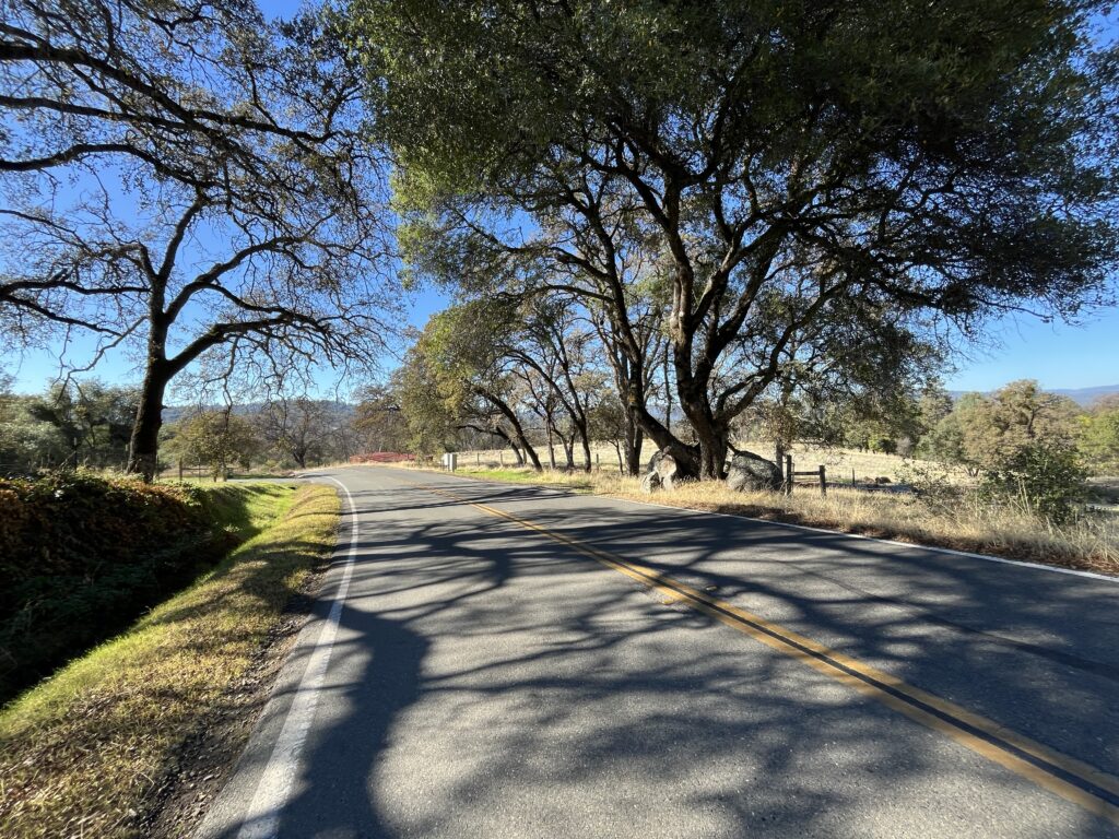
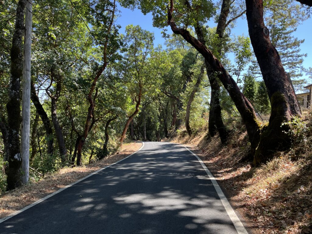
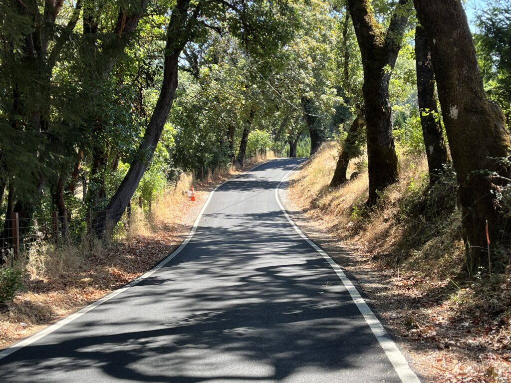
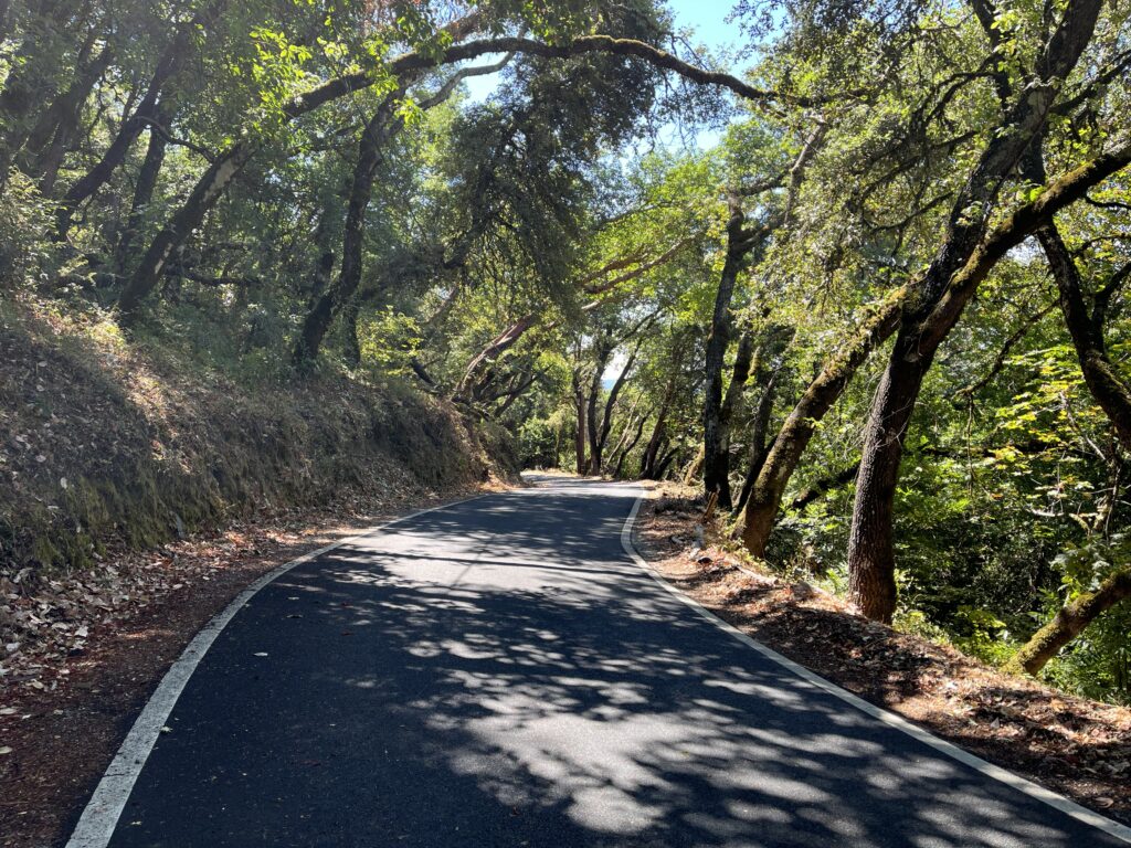
3. Mattole Rd.: the trees are bigger here than along the Avenue, but the real joy is that the road is narrower, so you go from riding BY the redwoods to being IN them. So don’t get to Mattole Rd., assume that Mattole is just more of the same, and turn around.
The route has been kept blissfully free of development and marketing. There are only two places to buy a Powerbar or a Bigfoot keychain: Myers Flat, which is a tiny but complete community, and the Burlington Visitor Center, which is a large store-and-campground complex. The rest is trees. Weott (population c. 250) is a small collection of houses without services as far as I know which sits on Hwy 101 a stone’s throw from our route. Apparently it used to be on the AOTG but was destroyed by flood in 1964 and relocated on Hwy 101.
Start in the pleasant village of Miranda. There are 6 more miles of the AOTG south of there, but I don’t know anything about them. Ride north to the large and complicated intersection of the AOFG, Hwy 101, and Mattole Rd.. Ride Mattole westward until the road begins to climb. Turn around and ride home. Views of the South Fork of the Eel River are frequent.
Shortening the ride: The stars of this route are the Mahan Plaque Loop Trail, The California Federation of Women’s Clubs Grove, and Mattole Rd. Luckily they’re all within a few miles from the Mattole Rd. intersection, so I suggest you start at Mattole Rd., ride it out and back, then ride south on the Avenue as far as you want.
Adding miles: Obviously our Avenue of the Giants North ride is immediately to the north. See the Adding Miles section of that ride for other options. There are 6 more miles of the Avenue to the south of Miranda but I don’t know anything about them.