
Distance: 38 miles, two loops
Elevation gain: 3600 ft.
The Nevada City/Grass Valley area has quietly become one of my favorite riding venues. This is Bestrides’ 6th ride in the area, and it’s more of the same very pleasant rambling foothill stuff. Nothing in this route is spectacular, and it’s not making any Best of the Best lists, but it’s a sweet day on the bike.
How does this ride compare with the other five? Willow Valley Rd. is still my favorite. Pasquale (in the Red Dog/Pasquale ride) still has the prettiest woods, followed by Lower Colfax. This ride has the best (really the only) dramatic descent, on Rattlesnake.
The ride is in fact two adjacent loops, and I’ve mapped them individually. The terrain for both loops is similar: gentle rollers past houses, farms, and horse ranches alternating with dry, scrubby foothill woods. The area is slightly to substantially built up, so you never have a sense of wilderness, but the woods are constant enough that I did almost the entire two loops without sunglasses, and although you’re rarely completely without cars the traffic is almost never a problem, excepting the first miles of McCourtney and the brief stints on the horrible Hwy 49.
If you’re only doing one loop, which one should you choose? The north half of McCourtney is the widest, straightest, most polished road and has the worst traffic. Rattlesnake has the most houses and the best descent, assuming you’re riding the loop clockwise, as you should. Allison Ranch Rd. is the smallest and least developed leg, a wide one-lane road with few houses and next to no traffic. Auburn Rd. is the next-smallest, next-least-developed, and next-untrafficked. If you’re a fan of small and undeveloped, consider riding a loop down Auburn and back up Allison Ranch.
Nothing is flat in the Gold Country, and the total elevation gain adds up, but pitches over 6% are rare on this route, no pitch lasts very long, and it never feels like work. All roads are downhill heading south, uphill heading north. The only leg that registers as a “downhill” is Rattlesnake starting 3 mi. in.
The McCourtney/Auburn loop rides equally well in either direction; the Rattlesnake/Allison loop is much better clockwise, to get the Rattlesnake descent. You could start either loop anywhere along the route, but I’ve mapped both so they start and end in Grass Valley, one of my favorite California hill towns. Try to schedule your ride during the Open Studios tour, two weekends a year when local artists invite you into their ateliers and display their works. And always check out what’s happening at the Center for the Arts, one of the best small music venues I’ve ever found.
The Rattlesnake Rd. leg is part of our Dog Bar ride.
McCourtney/Auburn Loop
If you’re riding from downtown Grass Valley, take Mill St., the town’s main drag, SW to McCourtney, which is just past Hwy 20. The first few miles of McCourtney aren’t great. The road is big, pretty straight, and surprisingly busy (at least it was on the Saturday afternoon when I rode it). About halfway to Lime Kiln Rd., all the bad goes away. The road gets small, pleasantly meandering, and close to traffic-free. You’re passing farms and horse ranches interspersed with patches of woods.
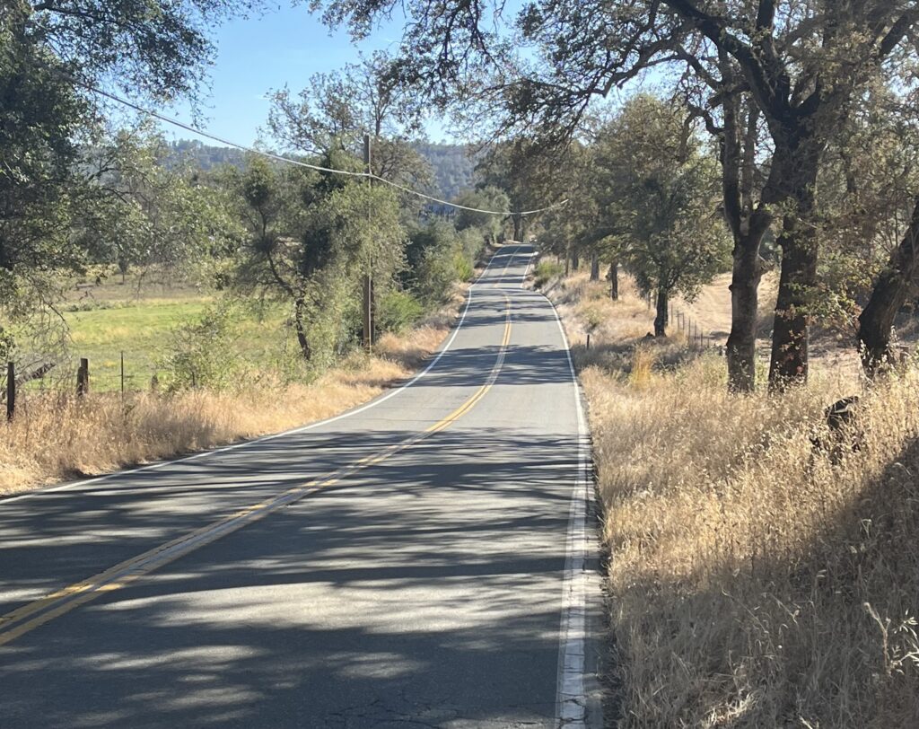
Turn L onto Lime Kiln Rd., which is more of the same good stuff. LKR dead-ends on Hwy 49, the area’s freeway, and it’s unpleasant—fast, hectic, noisy, and threatening. You’ve got a short mile of it to endure. Turn L onto Auburn Rd. (take care with the turn). Auburn returns you to McCourtney via some very nice, quiet, pretty, small-road miles. You’ll see signage indicating you’re on a route well-known to local cyclists. Once back on McCourtney, return to your starting place.
Rattlesnake/Allison Ranch Loop
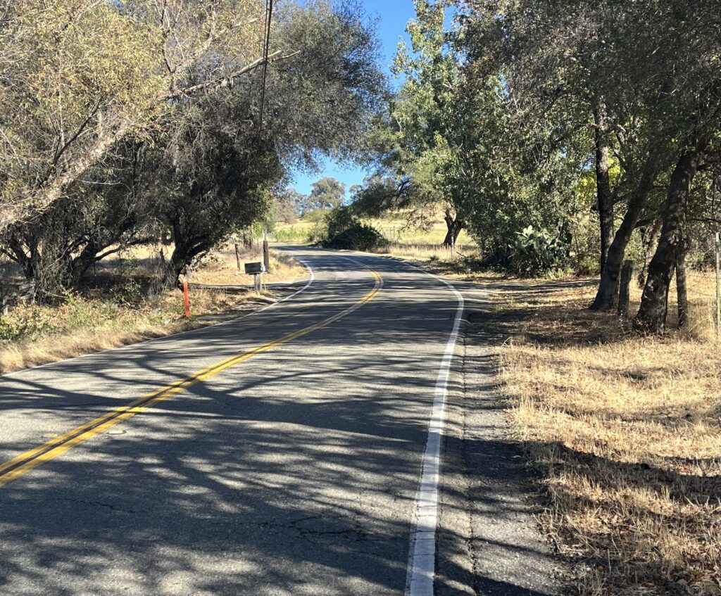
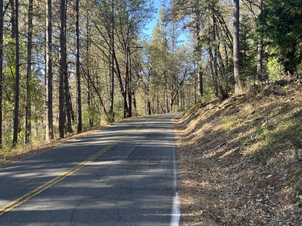
Begin in downtown Grass Valley. Take briefly hectic Colfax Ave. under the highway. Colfax becomes Colfax Hwy, which takes you to Rattlesnake on your R. Rattlesnake climbs for a short mile, then descends, a delightful romp rather than a nail-biter, for 6 miles and dead-ends on Dog Bar Rd. It’s moderately built up, but all the houses have lots of trees and you’re in shade all the way.
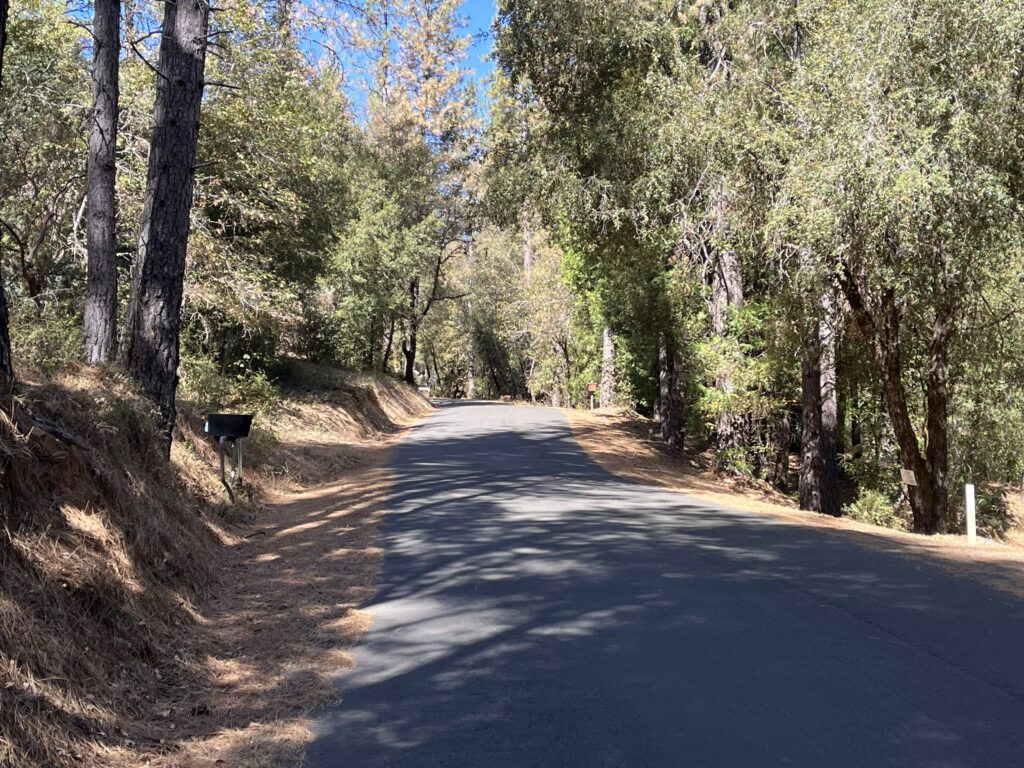
Go R on Dog Bar for a stone’s throw, then L onto Alta Sierra Drive. ASD skirts the edge of a large, new, upscale settlement, and I was told that the warren of little streets within is a hoot to explore on a bike.
Alta Sierra Dr. dead-ends at Hwy 49, and again you’ve got a short stretch of cycling hell to endure, this time 1.3 miles. I THINK you can skip about half of it by exiting on Timberland Dr. and paralleling 49 on the surface road, but I didn’t do it.
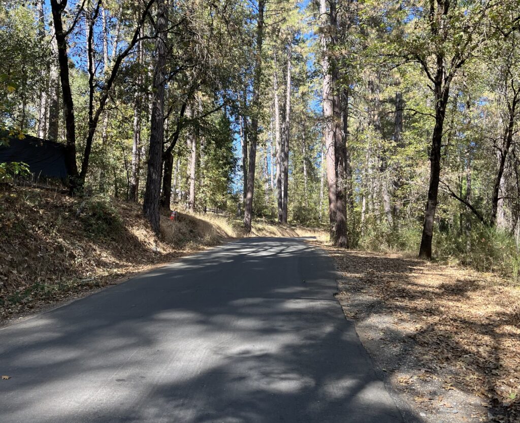
Turn L at the enormous intersection that is Allison Ranch Rd. If the traffic is constant, there are pedestrian crossings with push-buttons that will make the L turn safe. ARR is the smallest, least-built-up road on either of our loops, the nearest you can get in this area to getting away from it all. At last you get to ditch the center line. You should see only a car or two. It’s officially a climb, but it’s so mild you’ll hardly notice. Which means this loop is one of those rare treats where you seem to do a lot more descending than ascending.
Allison Ranch Rd. turns into Mill Street , which takes you back to downtown Grass Valley.
Shortening the ride: I prefer the Rattlesnake/Allison Ranch loop. An even shorter loop would be to ride down Auburn and up Allison Ranch.
Adding miles: An embarrassment of riches. Rattlesnake takes off from our Lower Colfax ride route and is a part of our Dog Bar ride. From Grass Valley it’s an easy ride to our Bitney Springs ride, and you’re three miles from Nevada City and our Willow Valley and Red Dog/Pasquale rides.