Distance: 29.5-mi. loop
Elevation gain: 2584 ft.
Half an hour’s drive east of Placerville and to the north of Hwy 50 lies the Crystal Basin Recreation Area. It’s bisected by Ice House Rd. running north and south, and there are at least 9 back roads with good riding connecting with it or nearby (I’ll list them in Adding Miles). One could easily spend a week happily exploring the possibilities. This loop is the best of them.
Let me repeat what I’ve said elsewhere in Bestrides: riding in the Gold Country north of Hwy 50 isn’t as good as riding south of Hwy 50. Above Hwy 50 is good; below Hwy 50 is great—more intense, more dramatic. But the riding in Crystal Basin is well worth doing.
The area is pretty undeveloped. There is little in the way of infrastructure other than campgrounds—no resorts (except Ice House Resort near Hwy 50), no canoe rentals, no summer homes, no back-country mercantiles. Yet I think the area gets a lot of use. I did my riding in late September. The roads were nearly empty but the campgrounds were busy, I saw lots of ATV trailers, and everywhere I rode there were informal campgrounds in the turnouts along the back roads. Large campgrounds line the lake, which suggests the area expects big numbers of campers in the summer. This matters, for the usual reasons, but also because the bike path along the lake is very narrow and would easily become unrideable if it was busy with walkers. As it turned out, I saw not one human being on it (!), and saw perhaps 4 vehicles on Peavine Ridge and #31. I was largely alone, but riding in summer camping season might be altogether another matter.
Maps of the region, unless they are up-to-date, tend to show roads that are now paved as dirt. Streetview, which covers the area thoroughly, can be trusted. Every road I’m going to talk about, including in the Adding Miles section, is adequately paved or better.
Our loop covers three distinctly different kinds of riding: big, polished two-lane main road (Ice House), wide one-lane traffic-free backroad (Peavine Ridge Rd., El Dorado Forest Rd. #31), and adorable lakeshore bike path (along the northern shore of Union Valley Lake). Every mile is rewarding and well-paved. You could circumnavigate the lake entirely on roads, and if you’re prejudiced against bike paths you might be tempted, but in fact the bike path is what turns the ride into something special and is by far my favorite part of the loop.
The ride works equally well whichever direction you go, clockwise or counterclockwise, and wherever you start. It rides easier than the elevation gain total suggests. There are no services along the route, but the bike path takes you past several campgrounds where you could beg water.
(Despite the map above, the loop is entirely and nicely paved.)
(The “canyon” at Mile 8.6, where the road seems to hit 24% pitches, is RWGPS being confused about the lake’s dam. The top of the dam is, of course, flat.)
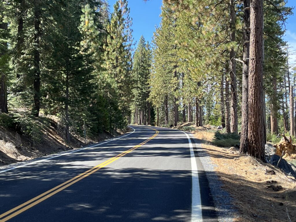
Park at the intersection of Ice House Rd. and Peavine Ridge Rd. This area doesn’t believe in signs with road names, but here you actually get one. Ride 2.8 miles down PRR, a small and essentially flat road. The area is in the process of being thinned for fire protection, so you may meet logging trucks and see piles of tree trunks, but the scenery is still pretty.
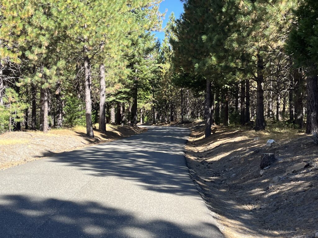
At Mile 2.8 you encounter your first intersection, a well-paved road to the R without a name. A sign tells you you’ve been on Peavine Ridge Rd. and if you continue straight you’ll be on Jaybird Canyon Rd. Another small sign points down the new road and reads “Bryant Springs Rd.,” but there seems to be no Bryant Springs in the area and that certainly isn’t the name of the road. On Googlemaps it’s called El Dorado Forest Road, but that just means it’s a road in the El Dorado Forest. Paper maps often identify it merely as “31.” It is in fact El Dorado Forest Road #31. Take it. It goes for 6 mi. through lusher, prettier woods to Union Valley Lake. There are at least two unsigned forks—in every case stay on the bigger fork. RWGPS says that at the lake you pass a community named Raffetto, but I saw nothing.
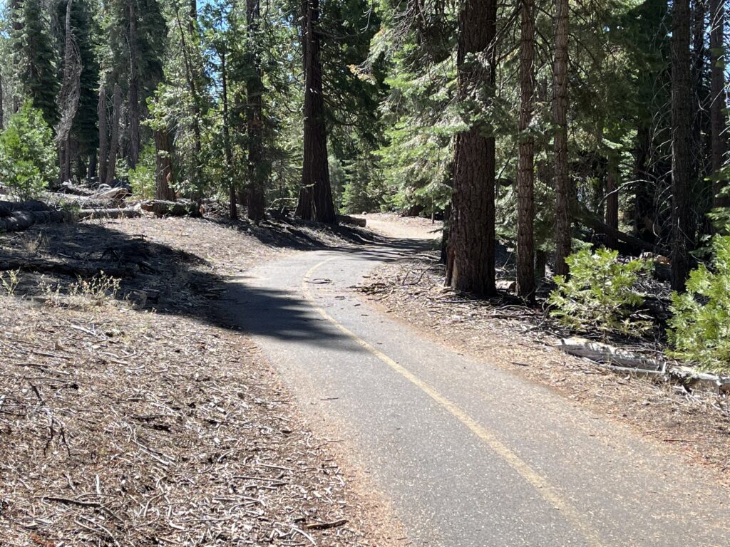
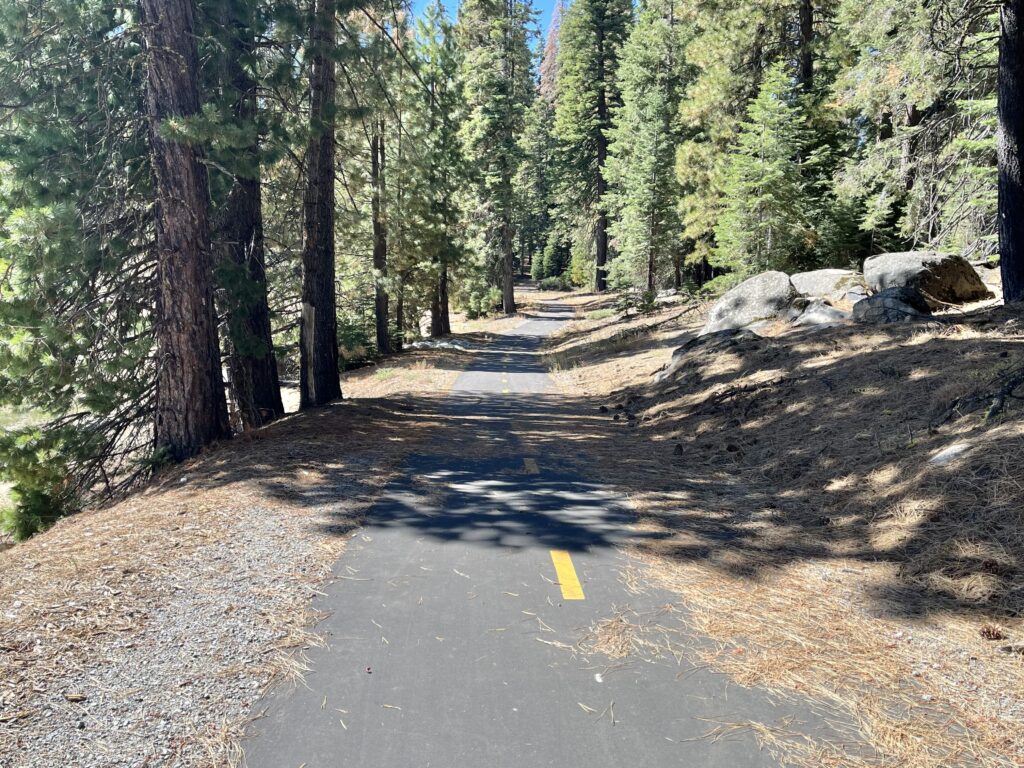
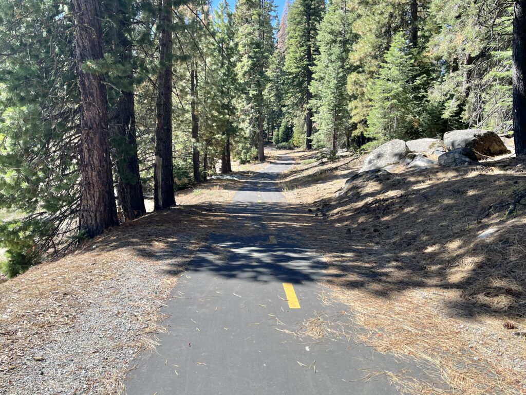
Cross the little dam and continue on the one and only road to West Point Campground, where the bike trail begins. Turn into the CG and the trail is unmistakably on your L. It’s delightful riding, if it isn’t crowded—narrow and constantly meandering up and down and back and forth through picturesque forest with frequent views of the lake on your right. Ride the trail as long as it’s fun—it frequently crosses the entrance roads to campgrounds, and you can take any one of them to the L to get back to the main road. There’s a lot of it. I rode it to Wench Creek Campground and bailed, but there’s more. If you continue on past WCC, the trail seems to end at the campground and you have to ride halfway out of the CG to pick it up again. Everywhere else, it’s unmissably marked.
Once back on Ice House Rd., ride it back to your car. IHR is the highway through the region, the biggest, straightest, busiest, and most developed. As such I found it to be the least exciting leg of the loop, but it’s certainly pretty.
Shortening the ride: Just ride the bike path. No one seems to be sure where its east end is (probably around Jones Fork CG), but If you did all of it, you’d probably rack up close to 20 mi. out and back. For a more varied ride, ride El Dorado Forest Rd. 31 and as much of the trail as you wish.
Adding miles: As Monty Python would say, you are spoiled for choice. I count at least 9 other roads in the immediate vicinity of our loop, all worth riding. Most of them are primitive wide one-lane roads—easy for cars to pass but without centerline, fog lines, or shoulders. Miraculously they all seem to have OK to good road surfaces and should have no or next to no traffic. I haven’t ridden them all. Streetview covers most of them, so you can check them out. In no particular order:
- Ice House Road. There’s a lot more of it than what our loop covers. It runs north/south for 58 mi. (out and back) all the way from Hwy 50 to Loon Lk., and is pretty much the same all the way: smooth, big, and busy—the only road in the area with noticeable traffic. If you start at Hwy 50, IHR begins with 7.5 mi. of uninterrupted moderate serpentine climbing, and I bet that 7.5 mi. is a hoot on the descent. It’s on my to-do list. A nice 15-mile break if you’re driving from to Lake Tahoe via Hwy 50.
- Wentworth Springs Rd. The other “big” road in the area, it goes W from IHR north of our loop and runs for 31 miles (one way) to Georgetown. I find it classic so-so green-wall riding, fairly straight for a mountain road, and almost all down (going W). Georgetown is a cute little old town, worth a visit. Seven mi. west of Ice House Rd. on WSR is the unmissable Uncle Tom’s Cabin, founded 1864 (thanks, Brian).
- South Fork Rd. Heading NW off IHR just above Wentworth Springs, it’s very small.
- Ice House-Wright’s Lake Rd. A pleasant ride on a “tie road” between Ice House Rd. and Wright’s Lake Rd., all up heading E. Add 2 miles to get to Wright’s Lake, a very pretty little lake, IHWLR passes by Ice House Reservoir but you can’t see it unless you leave the route. Wide one-lane, with the occasional vehicle. You might be put off by Streetview’s refusal to cover it or Googlemaps’ refusal to name it, but it’s there and it’s completely civilized. No road name signs but follow the clear signs to Wright’s Lake.
- Granite Springs Rd. Just south of and paralleling IHWLK, less well-known, less developed, and freer of traffic. I’m told it eventually turns to “good” gravel. Like IHWLR it runs between Ice House and
Wright’s Lake Rd. - Big Hill Rd. It’s a short, tiny one-lane and it dead-ends, so I’d think you’ve have it to yourself.
- Jaybird Powerhouse Rd. The continuation of Peavine Ridge Rd.
- White Meadow Rd. Minimal one-lane.
- Wright’s Lake Rd. From Wright’s Lake to Hwy 50.