
Distance: 24.6 mi. lollipop
Elevation gain: 2327 ft
(A Best of the Best descent)
This ride is a moderate climb and classic descent up and over a big hill. The scenery is standard PPO riding (Perfectly Pleasant Oregon)—oak forest, conifer forest, grassy meadows, unpretentious small ranches. The climb is nicely varied and never steep, but there’s nothing life-changing about it. But the descent is really something. Some descents are white-knuckle workouts. This is not one of those. The curves are all wide-open sweeps—no hairpins—and the terrain is open enough that you can see the turns coming and set up for them perfectly (and see that it’s car-free). In addition, there are lots of small uphill bumps, so you can carry a lot of speed on the downs and scrub it off without braking. And there are stretches of nearly-flat where you can catch your breath. It’s a beautiful balance between exhilarating and relaxing. You can hammer it as hard as you like, easily holding 35-40 mph at times and knowing you won’t get into trouble. I really don’t know of another descent like it, and it’s a gem.
Once the hill is over, the rest of the ride varies from PPO to downright unpleasant trafficky highway.
The ride’s other reward is its proximity to Jacksonville, a preserved Gold Rush town (settled in 1851), a National Historic Landmark and now mostly upscale tourist trap whose Main Street is lined with old buildings converted to expensive women’s clothing stores, bistros, and trinket shops. It’s very popular and jammed with traffic on summer weekends. Such places can be off-putting or charming, and I find Jacksonville to be the latter. Save time after the ride to walk the main street (which is oddly named E. California St.—Main St. is one block away), check out the old preserved bank (it’s free), and hit Churro Rush (nearly next door) if you’re a churro person.
Park in Jacksonville anywhere south of California St. Even just a block away from the crush of tourists on California there is ample shoulder parking in front of the locals’ houses. Take Applegate St. out of town. Even though downtown Jacksonville is in a flat valley, Applegate is instantly uphill, and at 8% this first 1.5 mi. is actually the steepest stuff you’ll encounter on the ride. Applegate becomes Cady imperceptibly. Take Sterling Creek Rd. to the L off Cady and ride to its end—6 miles up, then 6 miles down.
The descent is steepest in the first couple of miles after the summit, so if you want speed get it here, knowing that the pitch mellows out in the latter miles.
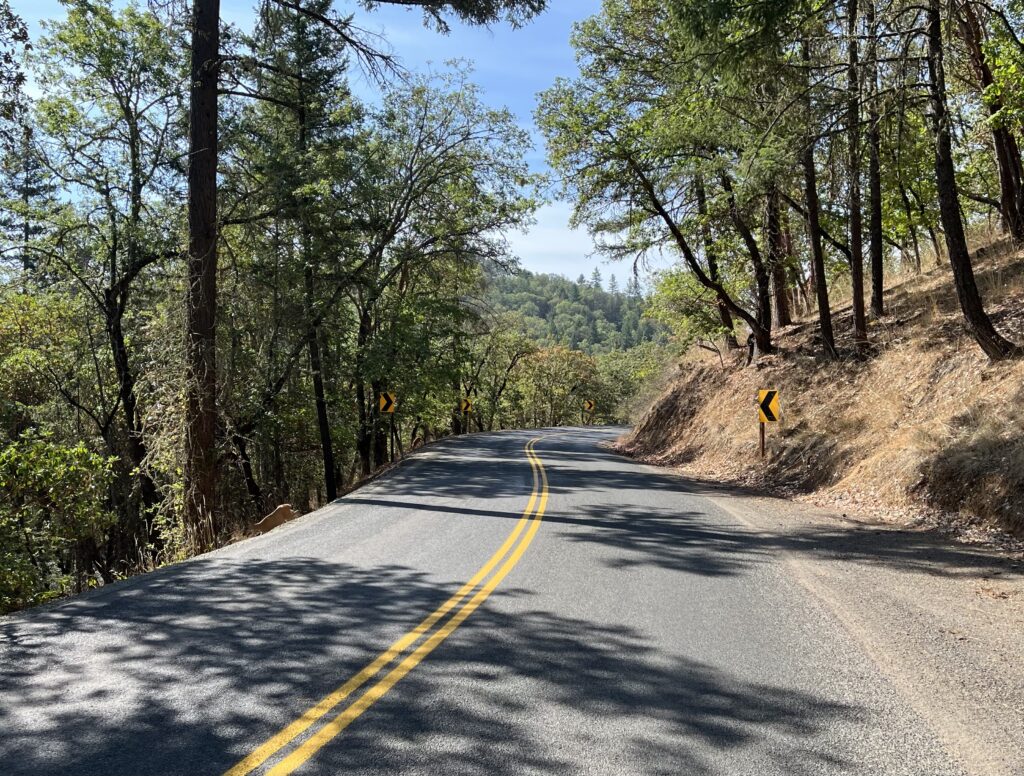
At the intersection of Sterling Creek Rd. and Little Applegate Rd., pause to appreciate the “community” of Buncom, which is two apparently abandoned shacks (one with a sign improbably reading “art gallery”), then go R onto LAR. Or don’t. As I said, everything beyond this point is merely pleasant or worse, so if you want only prime riding and you’ve got some legs left, turn around and ride back the way you came. If you don’t…well, you were warned.
After 3 miles of slightly downhill PPO riding on LAR, you deadend at Upper Applegate Rd., the third road on our route with the word “Applegate” in it. It’s bigger and busier than LAR, because it’s the road to popular Applegate Lake. It is without charm. It deadends at Hwy 238, which you must take to get back to Jacksonville. It’s truly unpleasant—near-constant traffic, a minuscule shoulder often full of garbage and a 5-mile mind-numbing uphill grind combine to foul one’s mood.
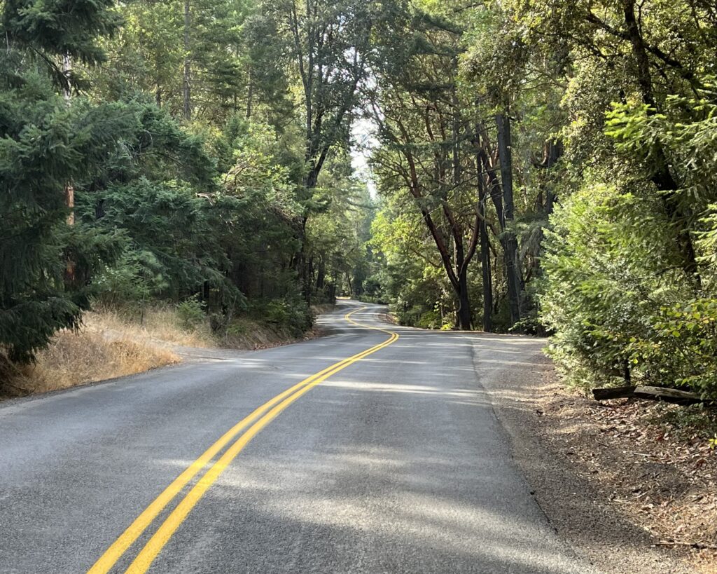
You’ll want to get off 238 as soon as possible, so take Cady St. to the R, which will turn into Applegate and return you to your car.
Shortening the ride: Obviously you need to ride the Sterling Creek Rd. downhill, so I’d start at Buncom, ride to the summit, then turn around.
Adding miles: The Old Stage Rd. runs for 13 mi. (one way) from downtown Jacksonville to Gold Hill, where it runs into Hwy 5. It’s all basically flat PPO riding through ranch country.
Upper Applegate Rd. from where we encountered it runs south to Applegate Lake, and it would be PPO riding were it free of traffic, which in the summer it isn’t.