
Distance: 18 mi.loop
Elevation gain: 2067 ft
One of my favorite kinds of ride is the back road from Point A to Point B where there is a bigger road also going from A to B, so all the car traffic goes on the big road and I can ride the back road in peace and quiet. That’s exactly what we have here. Briceland Rd., the big road, goes from Garberville to Briceland and gets all the traffic. Old Briceland Rd. also goes from Garberville to Briceland, but it does it circuitously, with a lot of up and down and back and forth. In short, just what cars hate and we cyclists love. So you have it to yourself. I saw no vehicles.
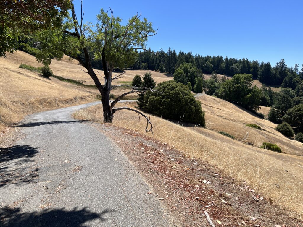
My route rides them both, but as you can see I much prefer Old Briceland Rd., and you are free to ride it as an out and back. The only drawbacks are: 1) you’ll do a lot more work (90% of the loop’s considerable elevation gain is in this half of the ride), and 2) there’s the familiar curse of the unused back road—the road surface is sometimes poor.
Then there is the question of which direction to go. You can start the loop anywhere and go either way. This stretch of Briceland Rd. is easy riding—all gentle rollers—and Old Briceland is almost entirely one big hill, so you can decide whether to put the work first or last. The hard work on Old Briceland is about the same (a mile+ of 10-14%) in either direction . So I mapped it the way I did for two reasons: I started in town so you can go to Il Forno, Garberville’s exemplary bakery, after the ride; and Old Briceland has a stretch of poor pavement on the east side of the summit, and I chose to ride it going up instead of going down.
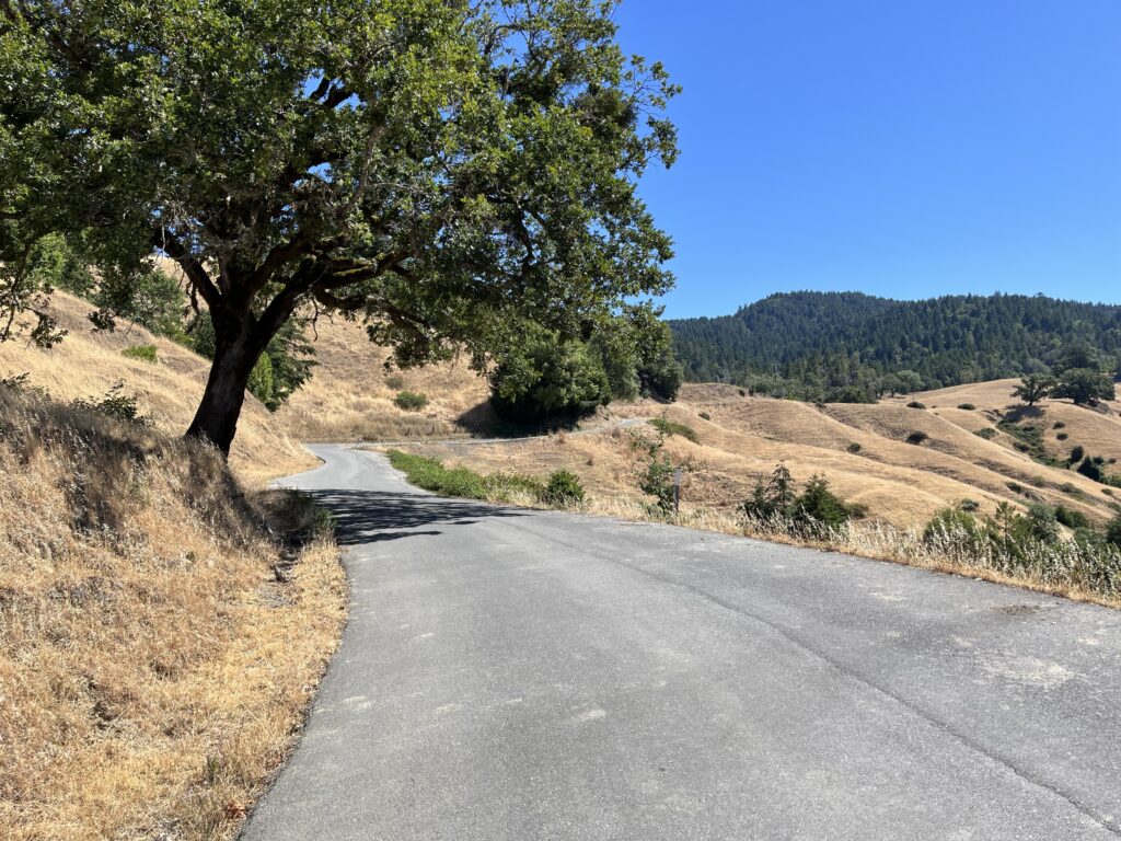
Park on Garberville’s main street, which is Redwood Dr., and turn west onto Sprowel Creek Rd., which is easy because it’s the only stoplight in town and the only road going W from downtown (Garberville is small). Turn on to Old Briceland Rd. and get ready for a substantial climb. It’s about 5.5 miles of climbing, 1.3 miles of it fierce. It’s glass for the first half and a bit broken up for the second. My favorite part of the loop is west of the summit, where you ride along the sidehill of a lovely grassy valley, a beautiful break from the area’s typical dense forest. You should be alone.
Briceland the town is about twenty houses and a large fire station. Go R onto Briceland Rd. (look behind you to see the sign on the eastern edge of town advertising a children’s nursery and a funeral parlor). Ride to Redway.
I am not a fan of the road from Garberville to Shelter Cove, which goes by several names, and of which Briceland Rd. is a section. It has a pretty nice contour and pretty nice scenery, but any of the side roads that go off from it has better of both, and the main road is trafficky. It’s all a standard two-lane with center line, but it’s busy, it has no shoulder, and the sight lines are poor so passing is frustrating for the cars. It’s not city-level traffic—I’d say maybe a car every minute or two—but each vehicle makes me tense. Why run the gamut when the side roads are empty of cars?
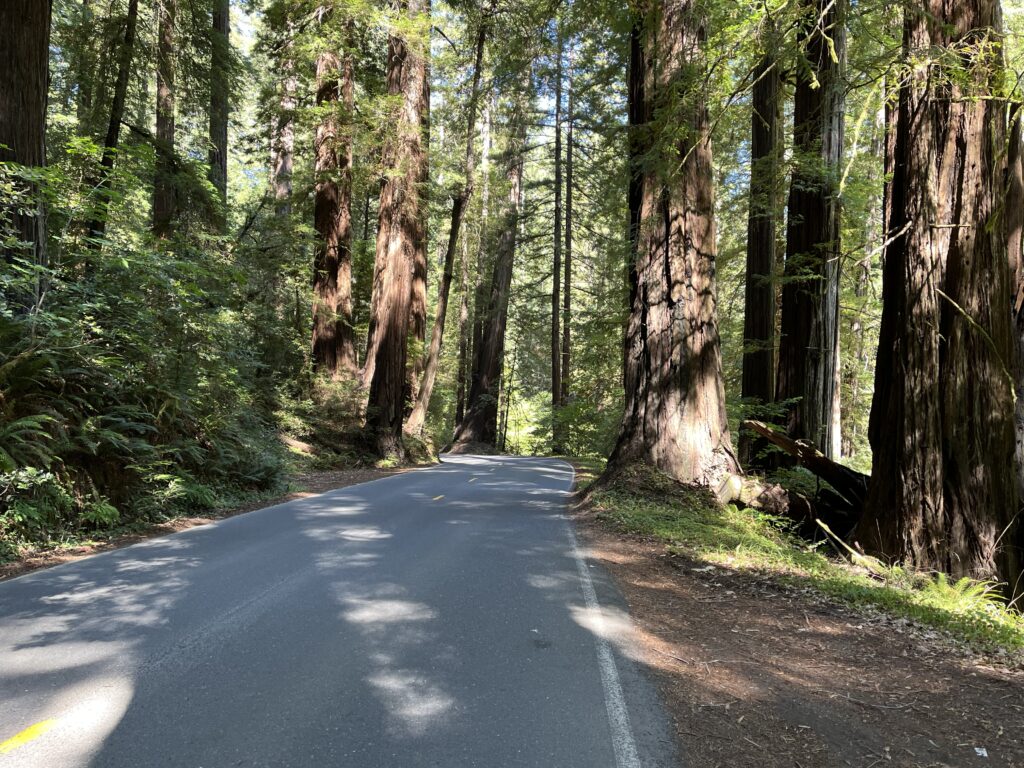
Assuming you want to do the loop, the 5 miles on Briceland Rd. are pretty enough and easy enough and they’re over quickly. Most of the scenery is hillside scrub, but just before you hit Redway you ride through the John B. Dewitt Redwoods State Natural Preserve, a peerless stand of enormous redwoods, and for half a mile you’re in bliss.
From Redway to Garberville the route is unmissable, trafficky, and short. Finish your ride at Il Forno (“The Oven” in Italian), a small, friendly bakery with sandwiches and salads and the priceless bennie of being able to sit at a table facing the street and watch your bike leaning safely against their railing.
Shortening the ride: I don’t see how. If you insist, ride from Briceland to the summit of Old Briceland Rd. and back.
Adding to the route: Alderpoint Rd. goes east from town and is reputed to be good riding all the way to Ruth Lake. From Briceland, you’re within riding distance of Ettersburg Rd., which I haven’t ridden but looks good, and further on our Chemise Mountain Rd. loop.