
Distance: 13-mile out-and-back
Elevation gain: 1015 ft
This is the easiest and perhaps the shortest ride in Bestrides. You will do next to no work. Not counting the small descent and climb at the beginning of the ride out and the somewhat more substantial drop at the end, it’s essentially flat. That’s because it’s a converted hydroelectric ditch.
So why is it in Bestrides? Because it’s pure bliss—gorgeous, tranquil, isolated, one-lane, with A-level pavement. As the friend who put me on to the ride said, ‘It would make anyone want to ride a bike.” So go do this ride. If you want more miles/work, Adding Miles below will show you how to do that easily.
Besides the fact that the ride is a joy, it has another selling point: despite it’s feeling deep in the outback, the start of the ride is only an incredible 0.6 mi. off Hi 80. So you can bag it in an hour on a break from driving to Tahoe or Reno.
Judging by the snowplow guidance poles lining the road, the area is under snow in the winter, so schedule your ride accordingly.
A mile or so from the beginning of the ride is Dutch Flat, a true, unspoiled, and charming Gold Rush town with a few buildings, a large and functioning hotel, and no tourists. Well worth a visit. If the museum is open, check it out—it’s a treat beyond your expectations. The hotel looks good on the website and says it’s working toward opening a restaurant (as of 5/25).
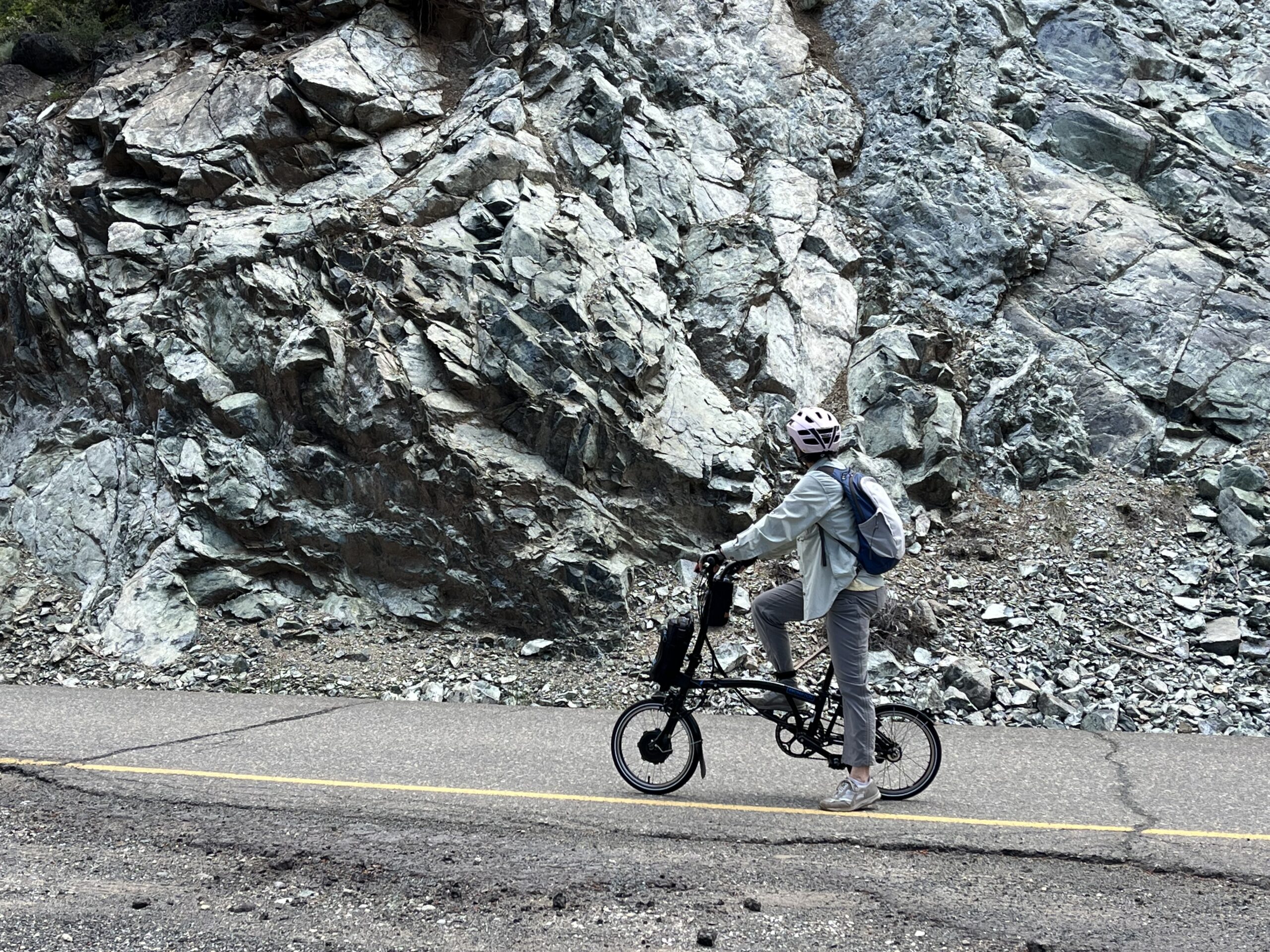
Park near the intersection of Drum Power House Rd. (named after a guy named Drum) and the oddly-named Main St. (it’s a continuation of the Main Street of Dutch Flat). There isn’t much room but you can squeeze onto the shoulder. After a few houses, the rest of the ride is through wilderness marked only by road signs on trees—lots of them: turn arrows, “blind curve,” “15 mph speed limit,” and the like. Given the fact that the road deadends at a power house of interest to perhaps 10 people in the state, you’ll have the road to yourself (I met two vehicles in the 13 miles, and wanted to ask each what they were doing there), which raises the question, Why are all these signs there? We’ve all ridden hundreds of back roads more hazardous than this one, but the signs imply your life is hanging by a thread at every turn. All I can figure is, there’s some government regulation requiring over-zealous signage on power house roads, or something. To kick off the ride on this note of caution, at the very start of the route you see 5 warning signs within 50 ft: road narrows, falling rocks, share the road, winding road, and ice. You also see a sign that reads (uniquely, in my experience), “Private Road. No 1-80 access. GPS is wrong! Dead end.” In other words, a general air of negativity. All this for a ride that’s about as risky and hair-raising as Disneyland’s Autopia.
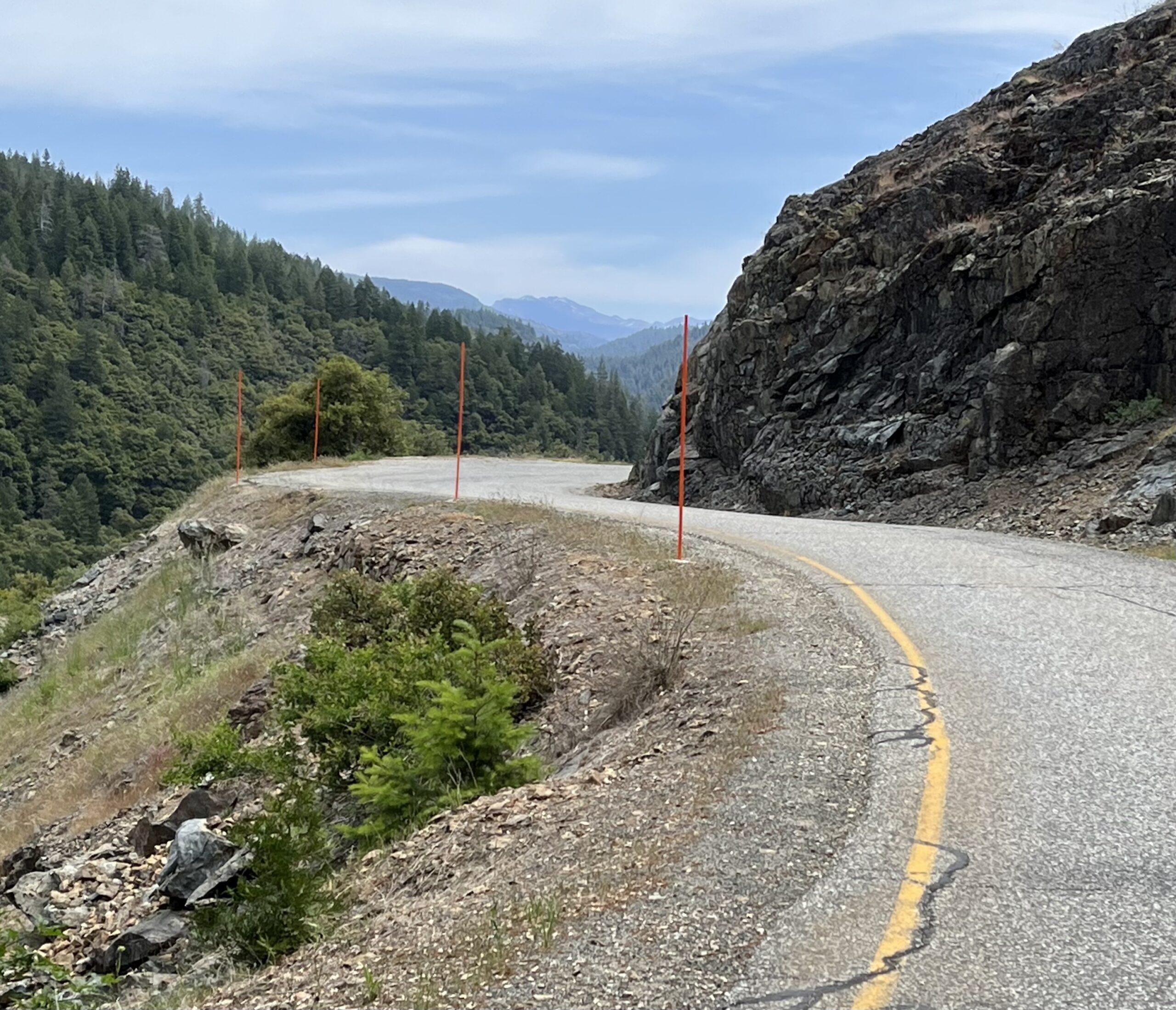
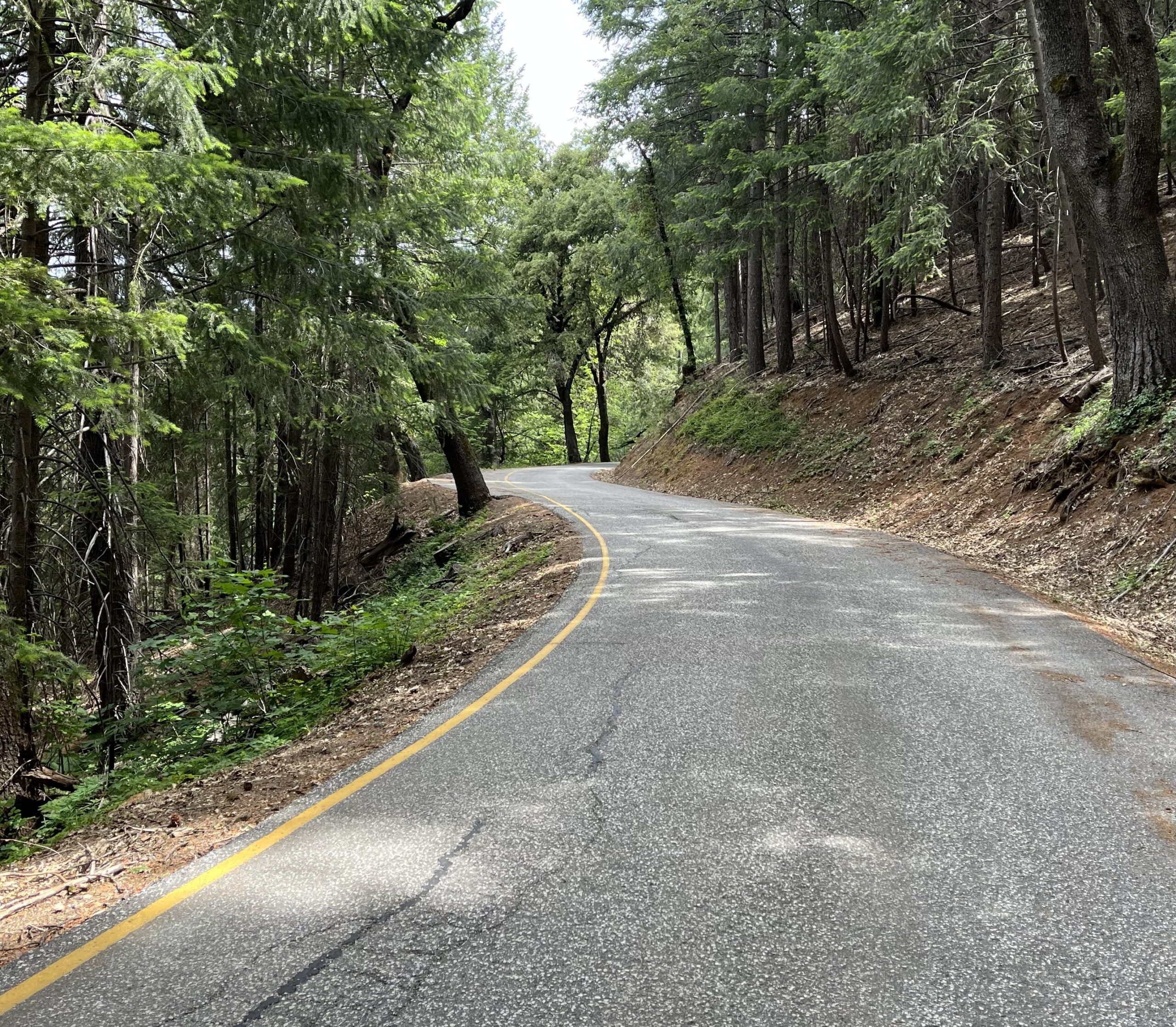
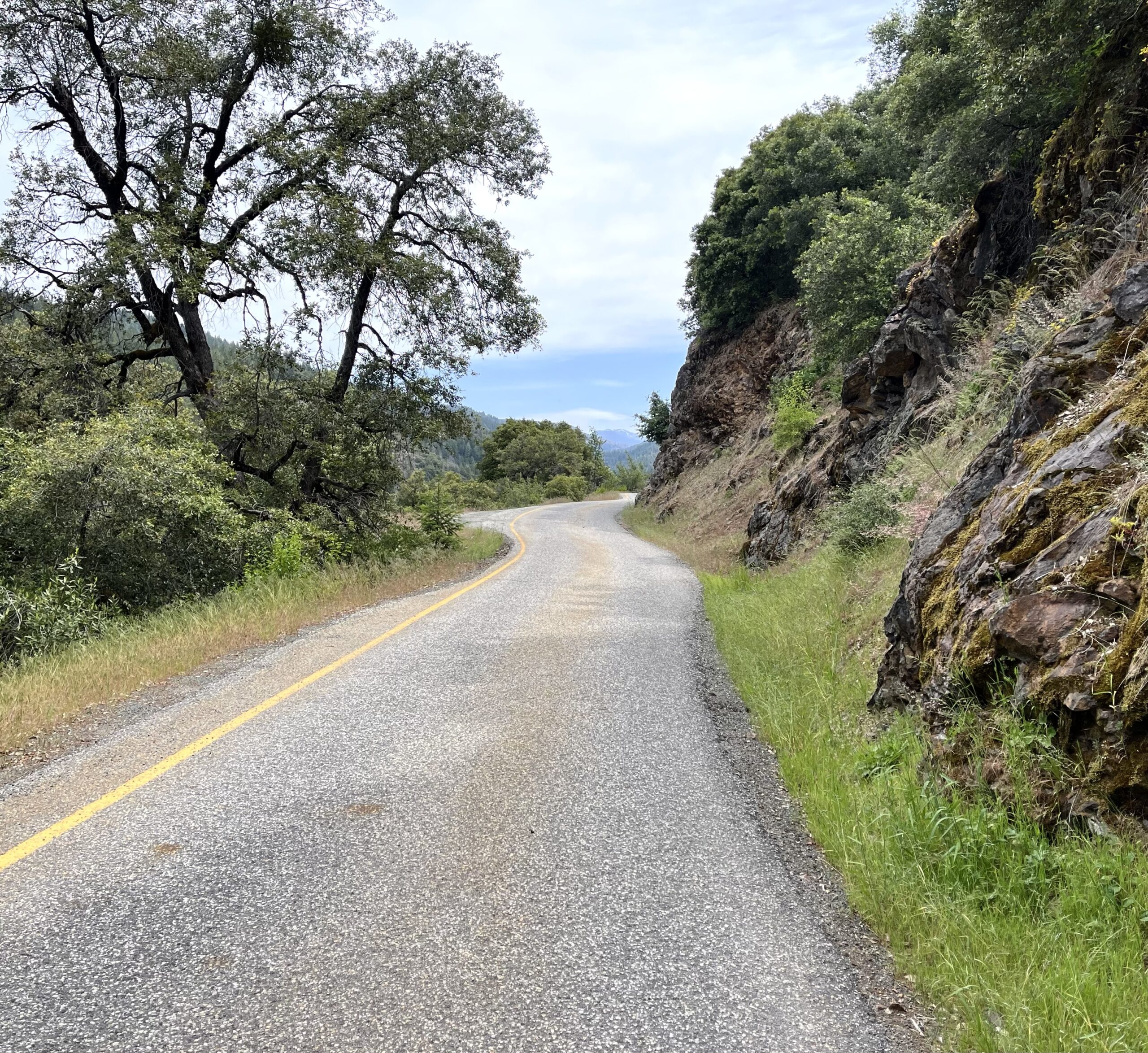
The road serpentines sweetly along a steep sidehill in the Bear River canyon. The scenery is varied and all lovely: big canyon vistas, roadside oak canopies, conifer forests, dramatic rock cuts of white, grey, yellow, and black festooned with colonies of bleeding heart, succulents, and coral bells. In addition, there is much hydroelectric activity in the canyon. On the far canyon wall you’ll see a long flume supplying water to an invisible power plant and a giant pipeline carrying water over a ridge to the west. Ahead and far above you to your right you’ll see another giant pipeline bringing water over the southern ridge.
5.2 miles in, the road begins an unmissable descent, which continues almost to the end of the ride and takes you down to the powerhouse itself, which is without interest. The climb back out is substantial, so you should seriously consider turning around. If you want more work, there are better ways to get it (see Adding Miles below). Alexander (below) says the descent is now gated off anyway, so the decision may be made for you.
Shortening the ride: You won’t need to, but if you’re looking for effortless you can skip the climbs at either end.
Adding miles: This ride adds on to our Lower Colfax Rd/Rollins Lake Loop ride via a sweet 8.8-mile connector that goes from the eastern tip of our Rollins Lake loop along small roads paralleling Hi 80, through Dutch Flat, to our ride’s starting point. Doing the two rides plus the connector gives you 46 mi. of riding, and of course Lower Colfax’s northern end is near other good riding, as detailed in that ride’s Adding Miles section.
A beautiful ride and worth a stop if you have a bike and an hour to spare going up or down Hwy 80. I suggest parking at the US Post Office, which is just up Nary Red Road past the intersection with Drum Power House Road if coming from Main St.
They added a security gate just a little bit into the descent down to the power house, so you can no longer reach it, but the ride is still well worth it. Just about 12mi on the dot out and back from the USPS office.