
Distance: 18.3 out and back
Elevation gain: 2258 ft
This ride has no breath-taking features, but it’s a perfectly sweet, rolling romp through very pretty Sierra foothill scenery. It’s one of 4 rides Bestrides has out of Grass Valley/Nevada City, and it’s probably the easiest and most low-key of the 4, perfect for a light day. The elevation gain is slightly over our 100 ft/mile benchmark for workload, but it’s never super-steep and all the climbing is in the last 4 miles, so you can turn around after 5 miles if you want no work at all.
One caveat: this is the route to South Yuba River State Park, which is prime hiking and swimming territory for locals in the summer, so it gets trafficky, especially on weekends. Even at other times, the road is busier than you’d expect. I rode it on a beautiful weekday afternoon in October, when there was almost no one at the State Park, and it was lovely and quiet at 2 PM and hellishly busy at 3 PM. I suggest riding it early in the morning or in spring or fall (non-swimming season) before 3 PM.
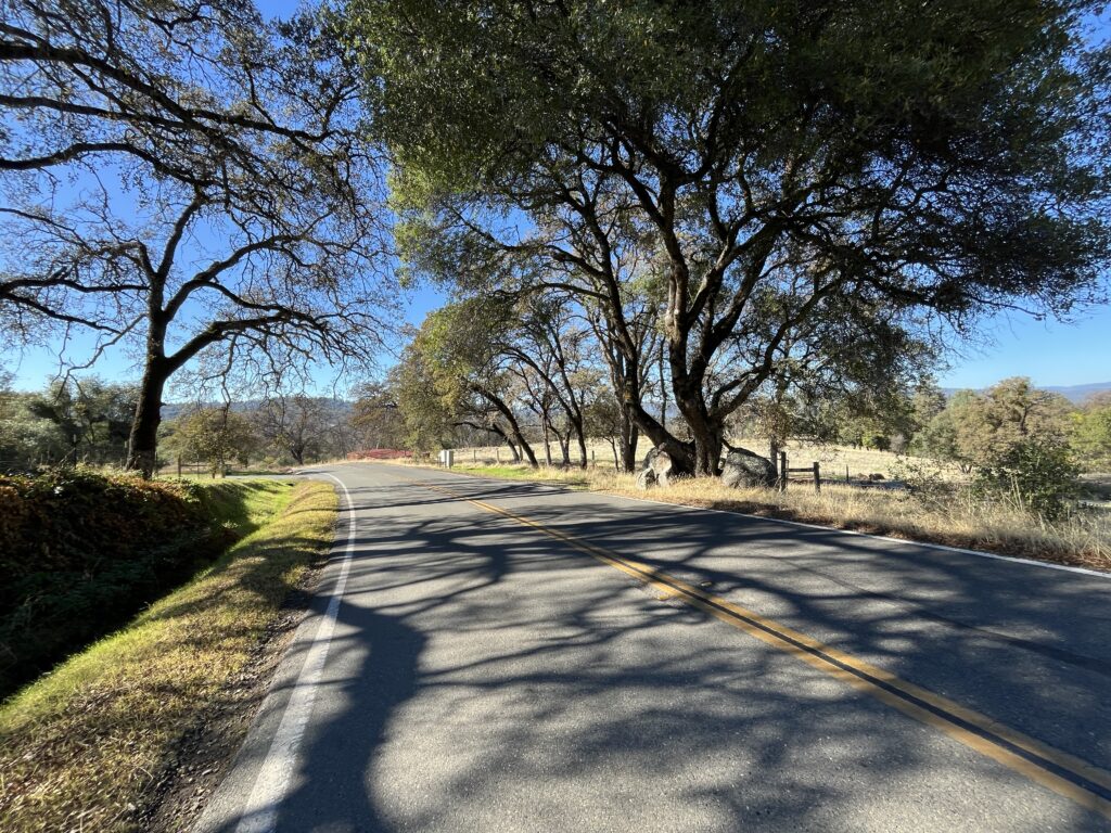
Begin at the intersection of Rough and Ready Highway and Bitney Springs Rd. (If you can refrain from saying “Leave Bitney alone!” to yourself throughout the ride, you have more willpower than I do). Ride down BSR. There’s a nice variety of foothill landscape—dense forest, open land, horse farms. The road tends downhill gently on excellent road surface.
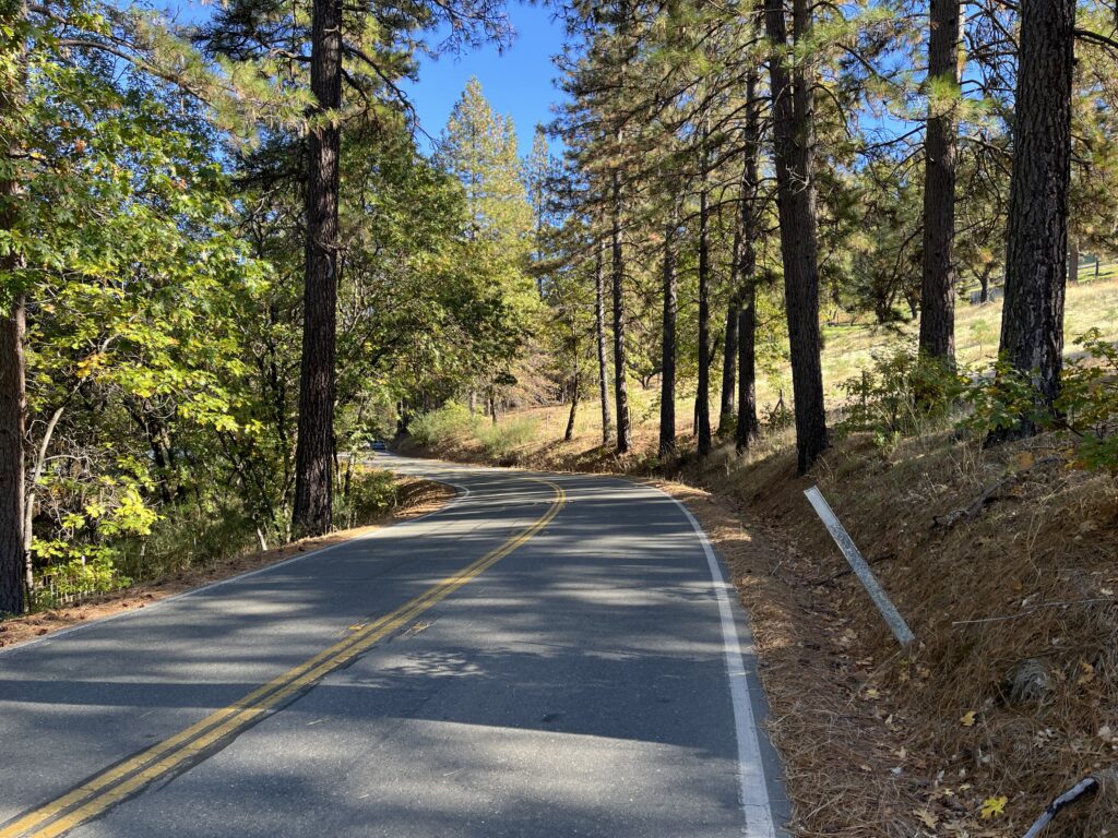
At 5 miles in the road turns down, and from there there’s a surprisingly fun 2-mile descent to the dead end at Pleasant Valley Rd. Take PVR to the R to South Yuba River State Park. PVR is steeper than what you just did (though the RWGPS profile says it’s the same), and the road surface is fairly rough, so it’s not a descent I love. We’re doing it to get to the state park, which is a cool place. There you’ll find the Bridgeport covered bridge, the longest covered bridge in the world (!). It’s a Wood bridge—that is, it was built by David Wood (sorry, couldn’t resist), and was completely restored and reopened in 2021, so it looks (and in fact is) brand new. You can ride your bike across/through it (or at least I did, and didn’t see any signs saying not to). Bridgeport, btw, looks on maps and sounds like a community, but it’s just the bridge and the state park.
The park has a large beach, good river swimming and good hiking. If you want a flat, open, effortless walk and spring wildflowers, take the Buttermilk Bend Trail upstream from the parking lot. If you want something gnarlier and more in the woods, take the Point Defiance Loop Trail heading downstream from the north end of the bridge.
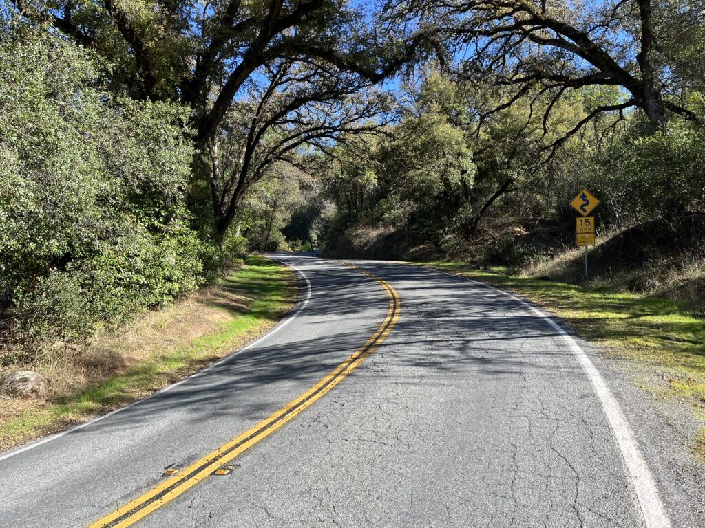
Ride back to your car. The return route begins with 4 miles of climbing you’ll notice.
Shortening the ride: turn around at Pleasant Valley Rd.
Adding miles: Surprisingly, given that this area is prime cycling country, there isn’t good riding at either end of our route. From Bridgeport PVR continues, climbing steeply for 2 miles then mellowing out and intersecting Hwy 49, which you could take to Nevada City and on to Grass Valley if you simply must loop, but none of it is particularly good riding. PVR to the L at the PVR/Bitney Springs Rd. intersection looks inviting, but it soon turns to traffic hell as it approaches Lake Wildwood, an upscale faux country experience best avoided. Midway along BSR you pass Newton Rd., which will give you a few more merely pleasant miles before it runs into Hwy 49. Rough and Ready Hwy. is much busier than Bitney Springs Rd.—beyond unpleasant and truly dangerous.
A friend suggests adding miles by riding Newton Rd. > Sweetland Rd. > Oak Tree Rd. > Tyler Foote all the way to Malakoff Diggings. I haven’t done it, but it’s all on Streetview so you can preview it.